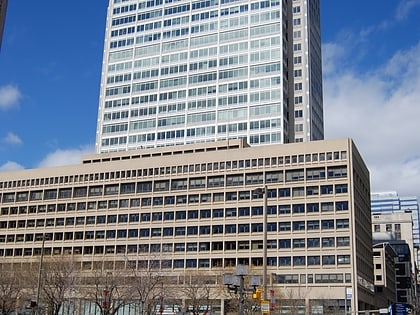
South Baltimore, Baltimore
Map
Map

Facts and practical information
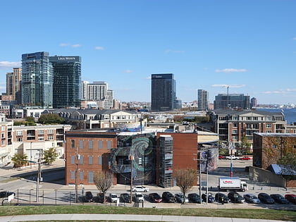
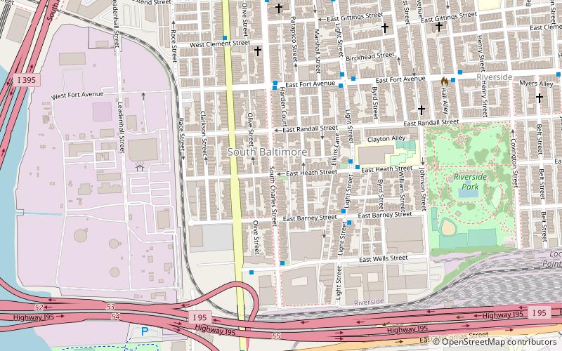
South Baltimore is a neighborhood in the Southern District of Baltimore, located to the west of the neighborhood of Riverside and south of Federal Hill. Its boundaries are marked by East Ostend Street, Light Street, Race Street and Interstate 95. ()
Coordinates: 39°16'14"N, 76°36'49"W
Address
Southern Baltimore (South Baltimore)Baltimore
ContactAdd
Social media
Add
Day trips
South Baltimore – popular in the area (distance from the attraction)
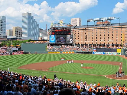
Nearby attractions include: Oriole Park at Camden Yards, M&T Bank Stadium, Baltimore Heritage Walk, Maryland Science Center.
Frequently Asked Questions (FAQ)
Which popular attractions are close to South Baltimore?
Nearby attractions include Riverside Park, Baltimore (8 min walk), Holy Cross Roman Catholic Church, Baltimore (11 min walk), Cross Street Market, Baltimore (12 min walk), Leadenhall Street Baptist Church, Baltimore (13 min walk).
How to get to South Baltimore by public transport?
The nearest stations to South Baltimore:
Bus
Light rail
Train
Bus
- Fort Avenue • Lines: Purple (4 min walk)
- Ostend Street • Lines: Purple (8 min walk)
Light rail
- Stadium/Federal Hill • Lines: Lr (18 min walk)
- Camden Yards • Lines: Lr (24 min walk)
Train
- Baltimore Camden Station (25 min walk)

