Teton Crest Trail, Jedediah Smith Wilderness
Map

Map

Facts and practical information
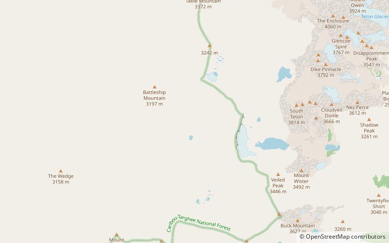
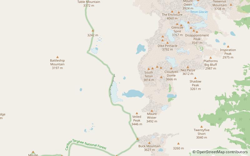
The Teton Crest Trail is a 40-mile long hiking trail in the U.S. state of Wyoming that extends from Phillips Pass, on the border of Bridger Teton and Caribou-Targhee National Forests, to String Lake in Grand Teton National Park. Backpacker Magazine calls the Trail one of the "Best Hikes Ever," with "mesmerizing and constant views of jagged peaks." ()
Length: 40 miMaximum elevation: 10645 ftMinimal elevation: 6870 ftCoordinates: 43°42'52"N, 110°51'18"W
Address
Jedediah Smith Wilderness
ContactAdd
Social media
Add
Day trips
Teton Crest Trail – popular in the area (distance from the attraction)
Nearby attractions include: Alaska Basin Trail, Kit Lake, Schoolroom Glacier, Battleship Mountain.
Frequently Asked Questions (FAQ)
Which popular attractions are close to Teton Crest Trail?
Nearby attractions include Schoolroom Glacier, Grand Teton National Park (22 min walk), Battleship Mountain, Jedediah Smith Wilderness (24 min walk).


