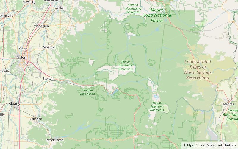
Battle Ax, Bull of the Woods Wilderness

Map
Facts and practical information
Battle Ax is a shield volcano in the West Cascade Range of Oregon. The shield is mostly made of andesite. The summit, which can be reached via the Battle Ax Mountain trail, marks the boundary between the Mount Hood National Forest and the Willamette National Forest as well as the boundary between the Opal Creek Wilderness and the Bull of the Woods Wilderness. ()
Elevation: 5566 ftProminence: 1018 ftCoordinates: 44°49'36"N, 122°8'24"W
Address
Bull of the Woods Wilderness
ContactAdd
Social media
Add
Day trips
Battle Ax – popular in the area (distance from the attraction)
Nearby attractions include: Dome Rock.
