Bolon Island Tideways State Scenic Corridor, Reedsport

Map
Facts and practical information
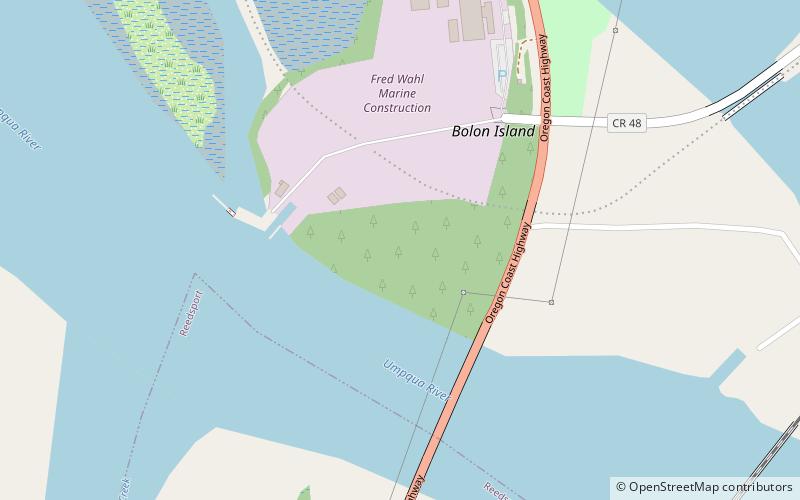
Bolon Island Tideways State Scenic Corridor is a state park in the U.S. state of Oregon, administered by the Oregon Parks and Recreation Department. The 11.4-acre park is on Bolon Island 10 river miles from the mouth of the Umpqua River and north of Reedsport. It is along Highway 101 and near the site, where in 1828, most of Jedediah Smith's party were massacred. The land was given to the state in 1934 by William C. and Jennie D. Chamberlain. ()
Elevation: 121 ft a.s.l.Coordinates: 43°42'44"N, 124°6'7"W
Day trips
Bolon Island Tideways State Scenic Corridor – popular in the area (distance from the attraction)
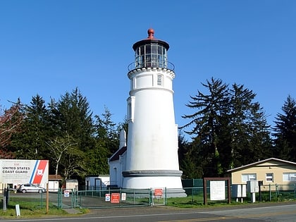
Nearby attractions include: Umpqua River Light, Umpqua River Bridge, Umpqua Discovery Center.
Frequently Asked Questions (FAQ)
Which popular attractions are close to Bolon Island Tideways State Scenic Corridor?
Nearby attractions include Umpqua River Bridge, Reedsport (5 min walk), Umpqua Discovery Center, Reedsport (15 min walk).


