Lewis Glacier, Sisters State Park
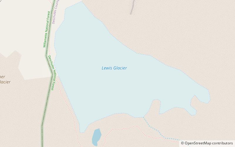
Map
Facts and practical information
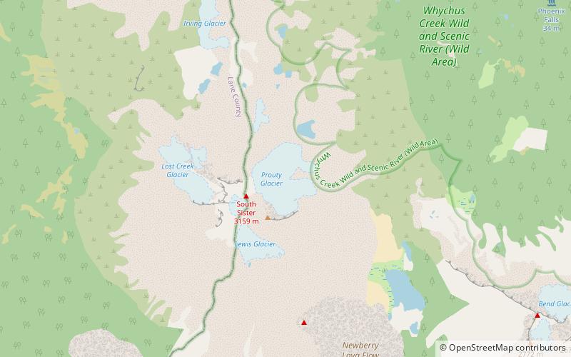
Lewis Glacier is in the U.S. state of Oregon. The glacier is situated in the Cascade Range at an elevation generally above 9,000 feet. Lewis Glacier is on the southeast slopes of South Sister, an inactive stratovolcano. Since its last maximum extent during the Little Ice Age where it descended to an elevation of 6,447 ft, the glacier has been in a general state of retreat and the terminus of the glacier was reported in 2005 to be at approximately 8,790 ft. ()
Length: 3000 ftCoordinates: 44°5'42"N, 121°46'1"W
Address
Sisters State Park
ContactAdd
Social media
Add
Day trips
Lewis Glacier – popular in the area (distance from the attraction)
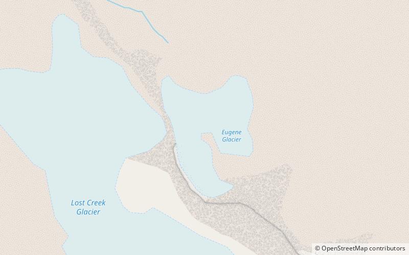
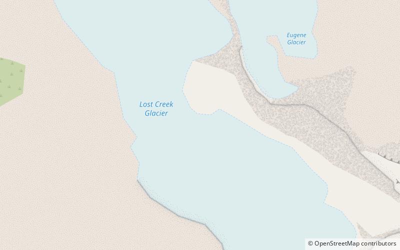
Nearby attractions include: Three Sisters, Prouty Glacier, Eugene Glacier, Lost Creek Glacier.
Frequently Asked Questions (FAQ)
Which popular attractions are close to Lewis Glacier?
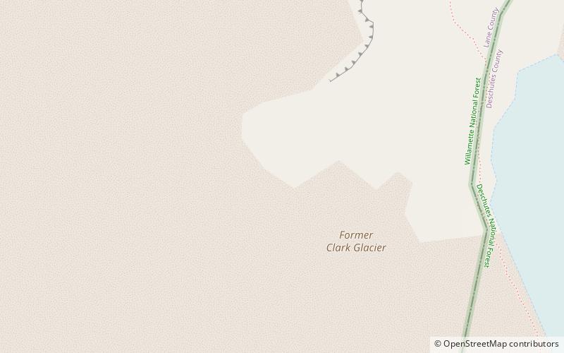
Nearby attractions include Clark Glacier, Sisters State Park (15 min walk), Three Sisters, Sisters State Park (16 min walk), Prouty Glacier, Sisters State Park (23 min walk).

