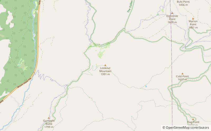
Lookout Mountain, Badger Creek Wilderness

Map
Facts and practical information
Lookout Mountain, elevation 6,536 feet, is the second highest peak in Oregon's Mount Hood National Forest and the highest point in Badger Creek Wilderness. It sits about 8 miles east-southeast of Mount Hood, separated from it by the valley of the East Fork Hood River. ()
Elevation: 6536 ftProminence: 1845 ftCoordinates: 45°20'33"N, 121°31'26"W
Day trips
Lookout Mountain – popular in the area (distance from the attraction)
Nearby attractions include: Cooper Spur ski area.
