Columbia Heights, Milton-Freewater

Map
Facts and practical information
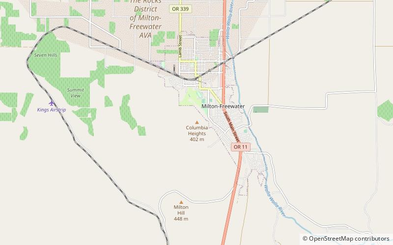
Columbia Heights is a mountain in Umatilla County in the U.S. state of Oregon, near the city of Milton-Freewater. The summit is at an elevation of 1,322 feet. ()
Elevation: 1322 ftCoordinates: 45°55'44"N, 118°23'49"W
Address
Milton-Freewater
ContactAdd
Social media
Add
Day trips
Columbia Heights – popular in the area (distance from the attraction)
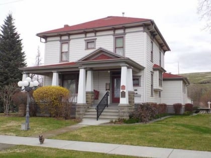
Nearby attractions include: Frazier Farmstead Museum.
