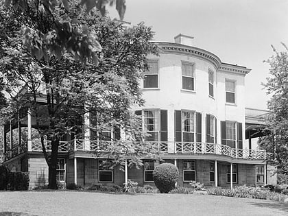
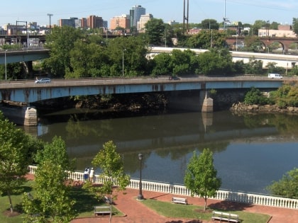
Schuylkill Canal, Philadelphia

Facts and practical information
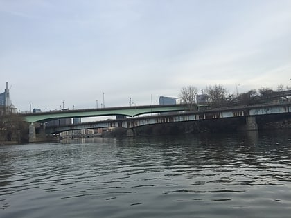
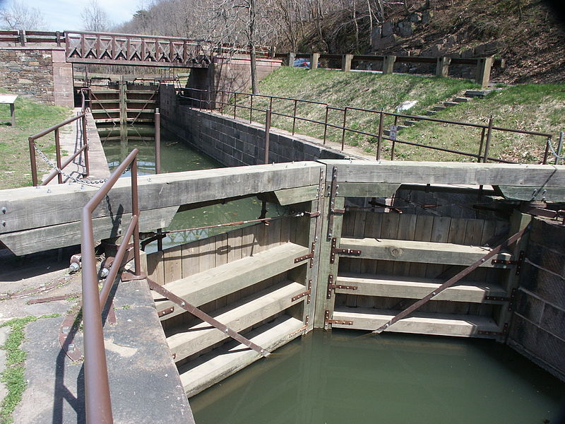
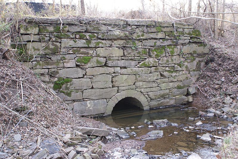
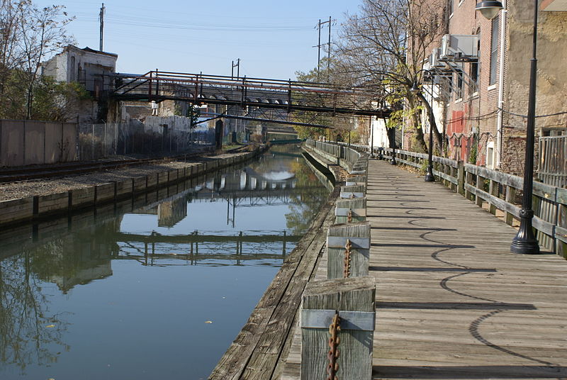
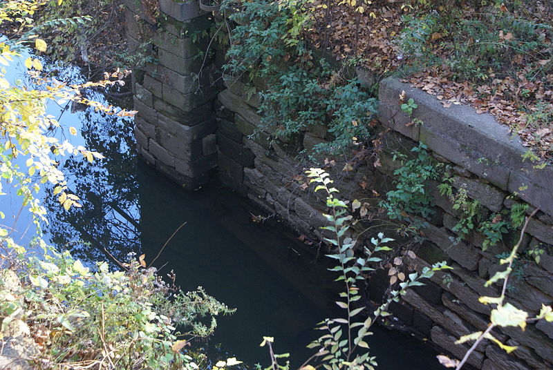
The Schuylkill Canal, or Schuylkill Navigation, was a system of interconnected canals and slack-water pools along the Schuylkill River in the U.S. state of Pennsylvania, built as a commercial waterway in the early 19th-century. Chartered in 1815, the navigation opened in 1825 to provide transportation and water power. At the time, the river was the least expensive and most efficient method of transporting bulk cargo, and the eastern seaboard cities of the U.S. were experiencing an energy crisis due to deforestation. It fostered the mining of anthracite coal as the major source of industry between Pottsville and eastern markets. Along the tow-paths, mules pulled barges of coal from Port Carbon through the water gaps to Pottsville; locally to the port and markets of Philadelphia; and some then by ship or through additional New Jersey waterways, to New York City markets. ()
West Philadelphia (Mantua)Philadelphia
Schuylkill Canal – popular in the area (distance from the attraction)
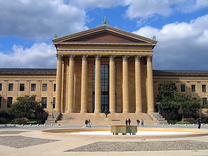
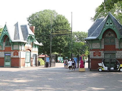
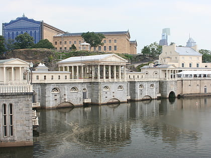
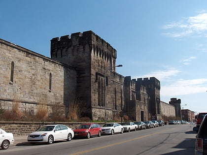
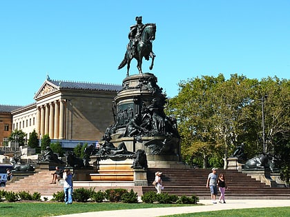
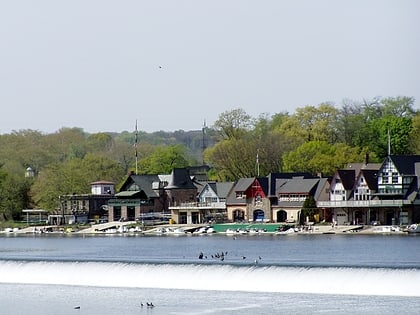
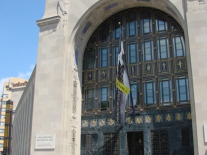
Nearby attractions include: Philadelphia Museum of Art, Philadelphia Zoo, Fairmount Water Works, Eastern State Penitentiary.
Frequently Asked Questions (FAQ)
Which popular attractions are close to Schuylkill Canal?
How to get to Schuylkill Canal by public transport?
Tram
- Girard Avenue & 31st Street • Lines: 15 (14 min walk)
Bus
- Megabus (21 min walk)
- Bolt Bus (21 min walk)
Metro
- 34th Street • Lines: Mfl (21 min walk)
- 30th Street • Lines: Mfl (23 min walk)
Train
- Philadelphia 30th Street Station (22 min walk)
- Suburban Station (36 min walk)



 SEPTA Regional Rail