St. Michael the Archangel Church, Cincinnati
Map

Map

Facts and practical information
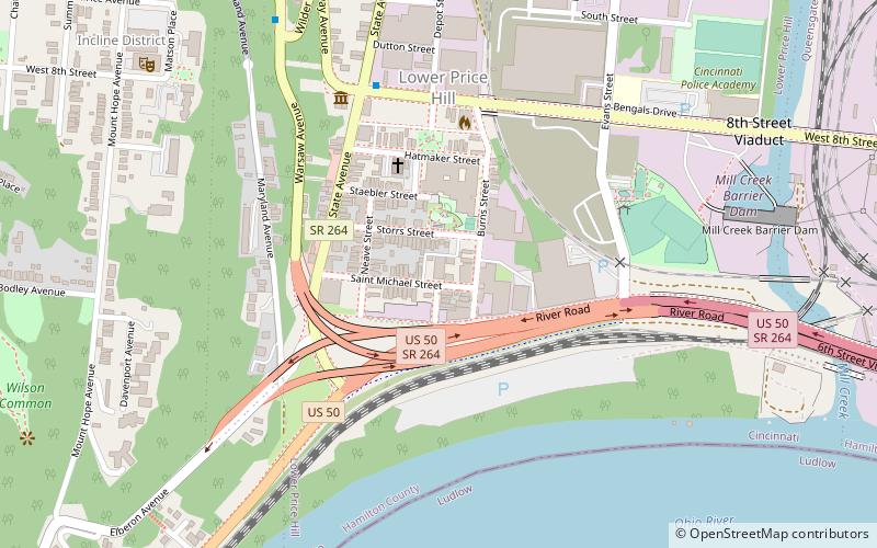
St. Michael the Archangel Church is a Roman Catholic church located at 2110 St. Michael Street, in Cincinnati, Ohio. The cornerstone of this church was laid in 1847 and the church dedicated a year later. The church closed April 5, 1998. ()
Coordinates: 39°6'9"N, 84°33'6"W
Address
Lower Price HillCincinnati
ContactAdd
Social media
Add
Day trips
St. Michael the Archangel Church – popular in the area (distance from the attraction)
Nearby attractions include: Duke Energy Children's Museum, Cincinnati Museum Center, Queensgate, Cincinnati History Museum.
Frequently Asked Questions (FAQ)
Which popular attractions are close to St. Michael the Archangel Church?
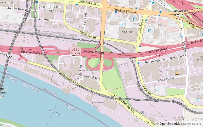
Nearby attractions include Lower Price Hill Historic District, Cincinnati (5 min walk), Cincinnati Southern Bridge, Cincinnati (15 min walk), The Flats Art Gallery, Cincinnati (17 min walk), Cincinnati Museum Center, Cincinnati (23 min walk).
How to get to St. Michael the Archangel Church by public transport?
The nearest stations to St. Michael the Archangel Church:
Bus
Train
Bus
- 8th St & Depot St • Lines: 32, 33, 50 (5 min walk)
- Warsaw Ave 2514 • Lines: 33 (9 min walk)
Train
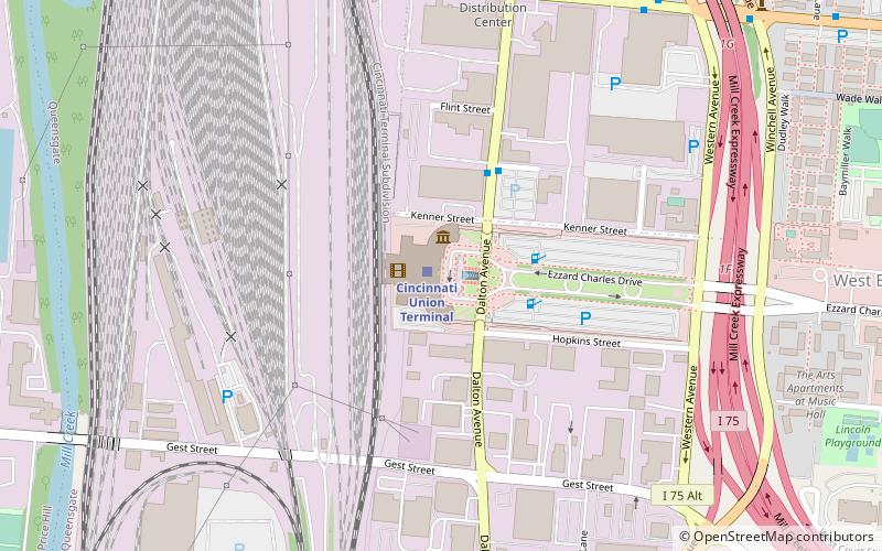
- Cincinnati Union Terminal (24 min walk)


