Southwest Federal Center, Washington D.C.
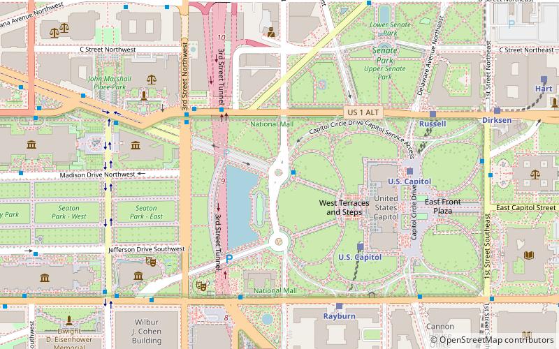
Map
Gallery
Facts and practical information
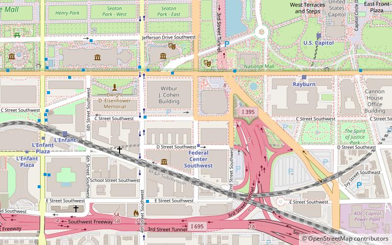
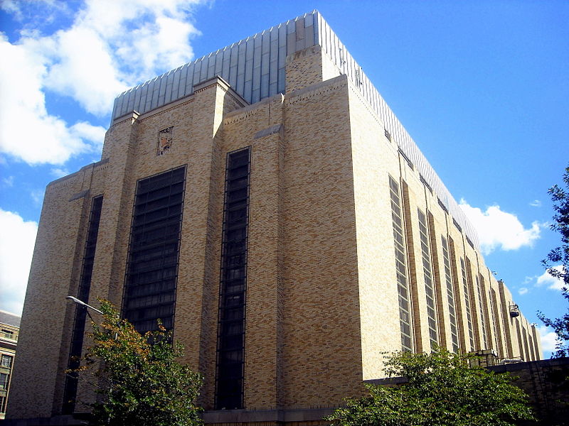
Southwest Federal Center is a business district in Southwest Washington, D.C., nearly entirely occupied by offices for various branches of the U.S. Government, including many of the museums of the Smithsonian Institution. ()
Coordinates: 38°53'9"N, 77°0'55"W
Address
Southwest Washington (Southwest Employment Area)Washington D.C.
ContactAdd
Social media
Add
Day trips
Southwest Federal Center – popular in the area (distance from the attraction)
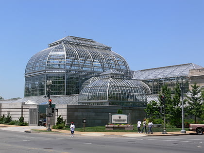
Nearby attractions include: National Air and Space Museum, National Museum of the American Indian, United States Botanic Garden, National Gallery of Art Sculpture Garden.
Frequently Asked Questions (FAQ)
Which popular attractions are close to Southwest Federal Center?
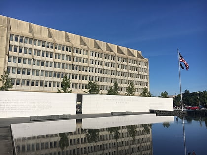
Nearby attractions include Mary E. Switzer Memorial Building, Washington D.C. (3 min walk), Ford House Office Building, Washington D.C. (3 min walk), American Veterans Disabled for Life Memorial, Washington D.C. (3 min walk), Museum of the Bible, Washington D.C. (4 min walk).
How to get to Southwest Federal Center by public transport?
The nearest stations to Southwest Federal Center:
Metro
Train
Bus
Tram
Metro
- Federal Center Southwest • Lines: Bl, Or, Sv (2 min walk)
- L'Enfant Plaza • Lines: Bl, Gr, Or, Sv, Yl (10 min walk)
Train
- Rayburn (8 min walk)
- L'Enfant (8 min walk)
Bus
- 4th St & N St SW • Lines: 74 (21 min walk)
- FlixBus Washington Union Station • Lines: 2601, 2602, 2668, N2610 (23 min walk)
Tram
- Union Station • Lines: H Street/Benning Road Streetcar (30 min walk)
- H Street & 8th Street Northeast • Lines: H Street/Benning Road Streetcar (38 min walk)


