Shakopee Historic District, Minnesota Valley National Wildlife Refuge

Gallery (4)
Map

Map
Gallery
Facts and practical information
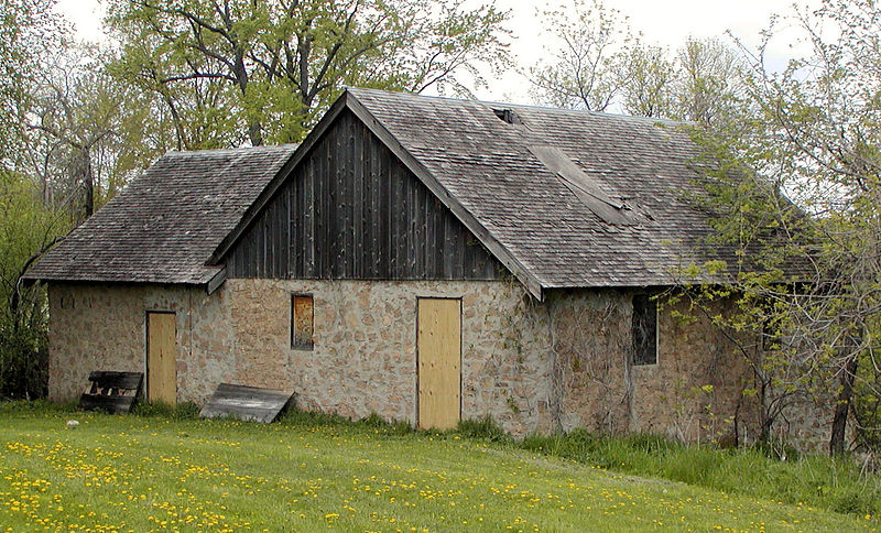
The Shakopee Historic District is a Registered Historic District in Shakopee, Minnesota that includes significant historical artifacts from pre-contact Native American cultures, pre- and post-contact villages of Dakotah people, and early white settlers. The earliest sign of habitation are burial mounds, while the most recent include a gristmill, inn ruins, and ferry landing. ()
Built: 1844 (182 years ago)Coordinates: 44°48'27"N, 93°29'34"W
Address
Minnesota Valley National Wildlife Refuge
ContactAdd
Social media
Add
Day trips