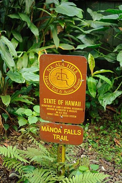
Manoa Falls Trail, Honolulu


Facts and practical information
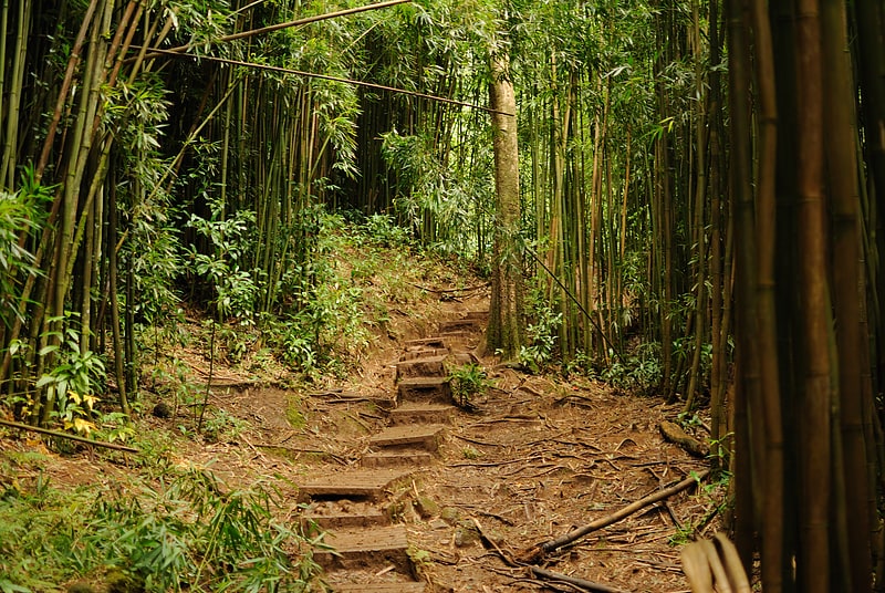
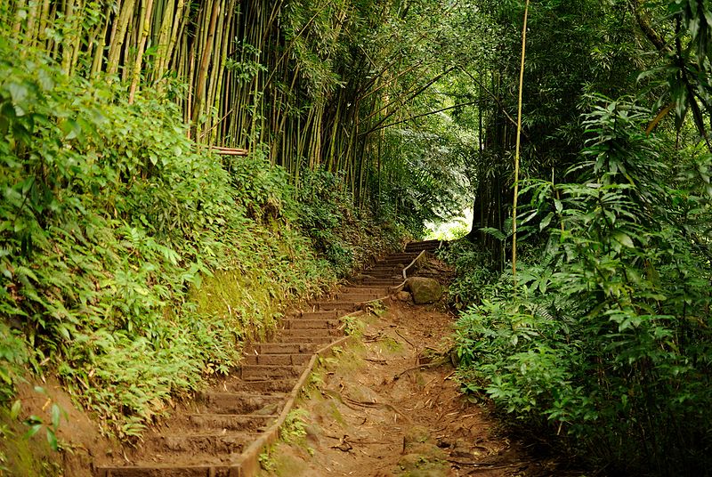
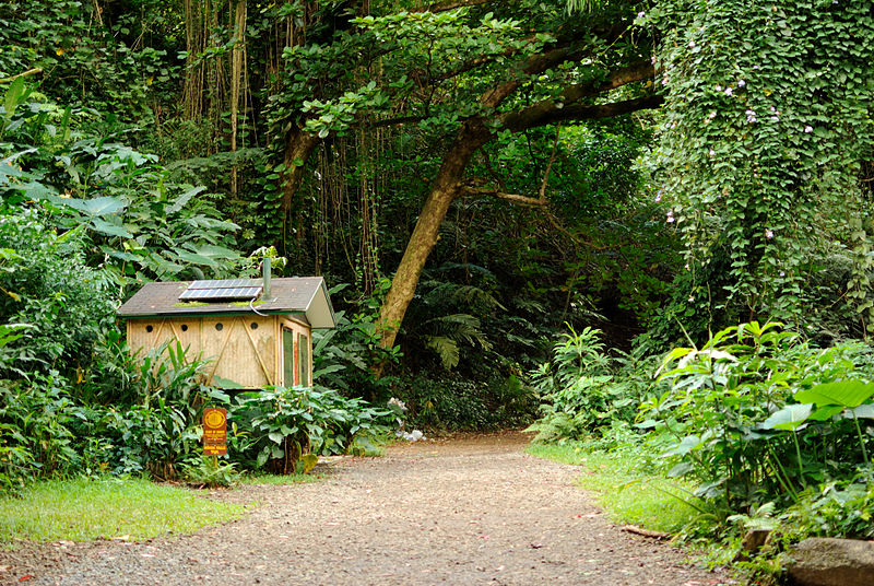
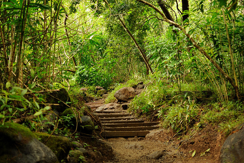
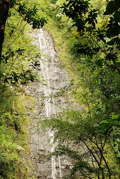
Mānoa Falls Trail is a 1.6-mile trail on the island of Oahu in Hawaii. The trail is a part of the Honolulu Makau Trail System, and leads to a popular 150 foot waterfall called Manoa Falls. Hiking the trail is approximately a one-hour round trip. Many tourists are attracted to the waterfall and scenery throughout the trail. The trails have a history as one of the earlier Hawaiian trails. There are many legends of the Night Marchers, or ancient Hawaiian warriors associated with Manoa Falls. Scenes in movies such as Jurassic Park and Catching Fire were filmed at Manoa Falls. The Manoa Falls trail harbors many plant species and tropical birds as well. The Lyon Arboretum, located in the Manoa Valley at the base of the trail is another popular tourist attraction and aims to preserve endangered Hawaiian plants. Some may say that this trail is "Easy". However, there is currently no formal way of rating trails. Therefore, since the trail can be very slippery when wet the rating can be subjective. Thus, users should use caution on any trail and turn around if not comfortable. Rain showers are very common on the trail and the path to the waterfall is often muddy and slippery. Flash floods may also occur at any time. Swimming in the pools of water on the trail is highly discouraged due to the threat of Leptospirosis. ()
- Bus
 Bus
Bus
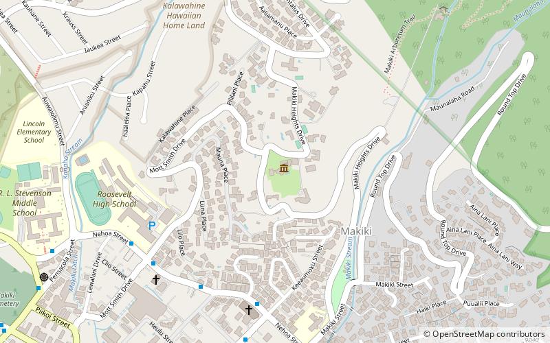
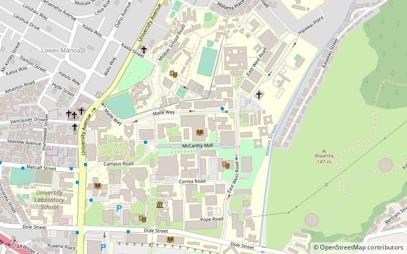
- Calculate routeLoulu Street + Kumukoa Street 28 min walk
- Calculate routeMaile Way + East-West Road 28 min walk
- Calculate routeNehoa Street + Keeaumoku Street 31 min walk
- Calculate routeKumuone Street + Loulu Street 31 min walk


Frequently Asked Questions (FAQ)
Which popular attractions are close to Manoa Falls Trail?
How to get to Manoa Falls Trail by public transport?
Bus
- Loulu Street + Kumukoa Street • Lines: 5 (28 min walk)
- Maile Way + East-West Road • Lines: 6, 80A (28 min walk)