Blissfield Downtown Historic District, Blissfield
Map

Map

Facts and practical information
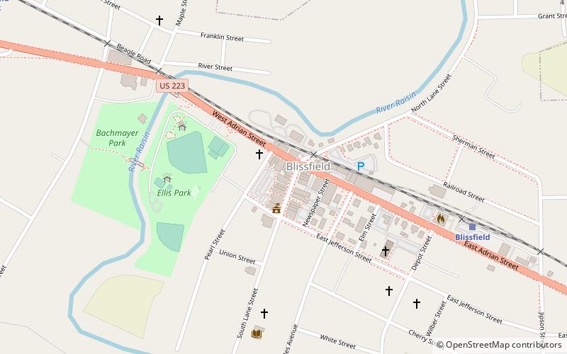
The Blissfield Downtown Historic District is a historic district located in the village of Blissfield, Michigan, and roughly bounded by Pearl Street on the west, Giles Avenue on the east, Jefferson Street on the south, and Adrian Street and the Blissfield railroad line on the north. The district was added to the National Register of Historic Places in 2015. ()
Coordinates: 41°49'56"N, 83°51'48"W
Address
Blissfield
ContactAdd
Social media
Add
Day trips
Blissfield Downtown Historic District – popular in the area (distance from the attraction)
Nearby attractions include: First Presbyterian Church of Blissfield.

