Marys River Peak, Jarbidge Wilderness
Map

Map

Facts and practical information
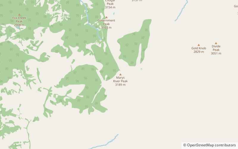
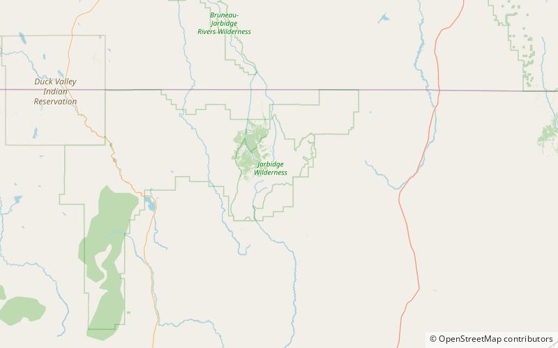
Marys River Peak is the highest mountain in the Marys River Range of northern Elko County, Nevada, United States. It is located within the Jarbidge Wilderness, which is administered by the Jarbidge Ranger District of the Humboldt-Toiyabe National Forest. The peak's name is derived from the Marys River, a tributary of the Humboldt. ()
Elevation: 10575 ftProminence: 730 ftCoordinates: 41°45'34"N, 115°21'43"W
Address
Jarbidge Wilderness
ContactAdd
Social media
Add
Day trips
Marys River Peak – popular in the area (distance from the attraction)
Nearby attractions include: Matterhorn, Jarbidge Lake, Coon Creek Peak, Jarbidge Mountains.


