Historic Sugartown, Malvern
Map

Map

Facts and practical information
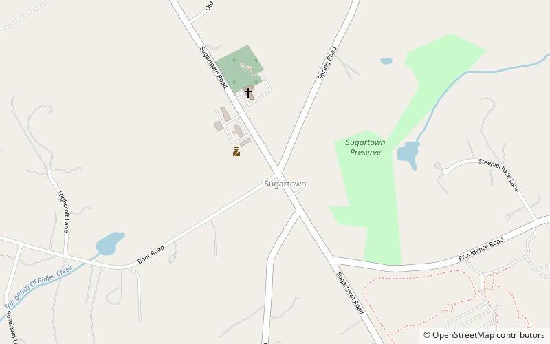
Historic Sugartown (address: 273 Boot Rd) is a place located in Malvern (Pennsylvania state) and belongs to the category of top attraction, specialty museum, historical place.
It is situated at an altitude of 512 feet, and its geographical coordinates are 40°0'0"N latitude and 75°30'30"W longitude.
Among other places and attractions worth visiting in the area are: Paoli Battlefield (battlefield, 55 min walk), Malvern Public Library (library, 59 min walk), Daylesford Abbey, Paoli (sacred and religious sites, 67 min walk).
Coordinates: 40°0'0"N, 75°30'30"W
Day trips
Historic Sugartown – popular in the area (distance from the attraction)
Nearby attractions include: American Helicopter Museum, Aronimink Golf Club, Waynesborough, Warner Theater.
Frequently Asked Questions (FAQ)
When is Historic Sugartown open?
Historic Sugartown is open:
- Monday closed
- Tuesday closed
- Wednesday closed
- Thursday closed
- Friday closed
- Saturday 11 am - 4 pm
- Sunday 1 pm - 4 pm


