Chessie Nature Trail, Lexington

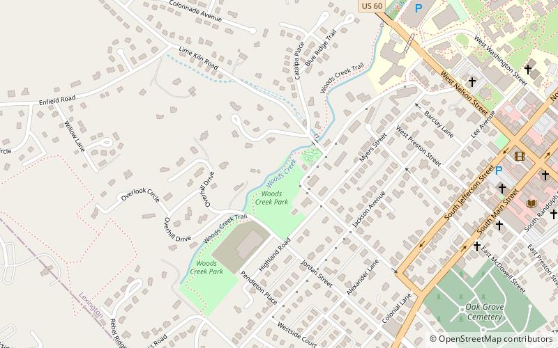
Map
Facts and practical information
The Chessie Nature Trail is a rail trail linking Buena Vista, Virginia with Lexington, Virginia along the Maury River. The six-mile trail follows the roadbed of a former Chesapeake and Ohio Railway branch line which extended from Glasgow, Virginia, to Lexington, primarily following the Maury River. ()
Coordinates: 37°47'2"N, 79°27'4"W
Address
Lexington
ContactAdd
Social media
Add
Day trips
Chessie Nature Trail – popular in the area (distance from the attraction)
Nearby attractions include: University Chapel, Stonewall Jackson House, Oak Grove Cemetery, George C. Marshall Foundation.
Frequently Asked Questions (FAQ)
Which popular attractions are close to Chessie Nature Trail?
Nearby attractions include Reid–White–Philbin House, Lexington (8 min walk), Washington and Lee University Historic District, Lexington (11 min walk), Oak Grove Cemetery, Lexington (11 min walk), Mulberry Hill, Lexington (11 min walk).


