Eagle Peak, Gila National Forest
Map
Facts and practical information
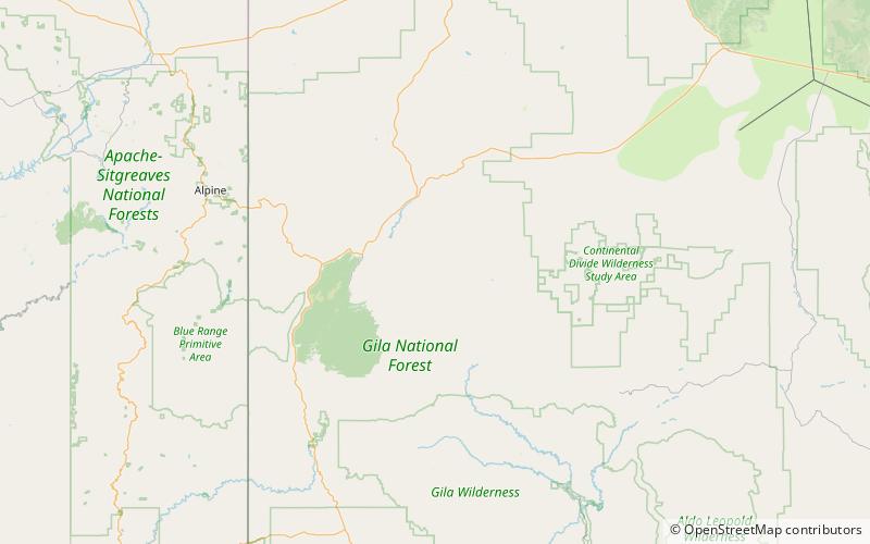
Eagle Peak is a mountain in Catron County, western New Mexico, United States, near the town of Reserve. The summit is the highest point in the Tularosa Mountains. ()
Elevation: 9801 ftProminence: 2266 ftCoordinates: 33°40'36"N, 108°34'34"W
Address
Gila National Forest
ContactAdd
Social media
Add