Dry Range, Helena National Forest
Map
Facts and practical information
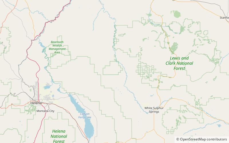
The Dry Range, el. 6,152 feet, is a small mountain range northwest of White Sulphur Springs, Montana in Meagher County, Montana. ()
Maximum elevation: 6152 ftCoordinates: 46°47'60"N, 111°17'2"W
Address
Helena National Forest
ContactAdd
Social media
Add