Mogollon Baldy, Gila Wilderness
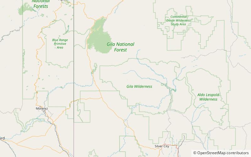
Map
Facts and practical information
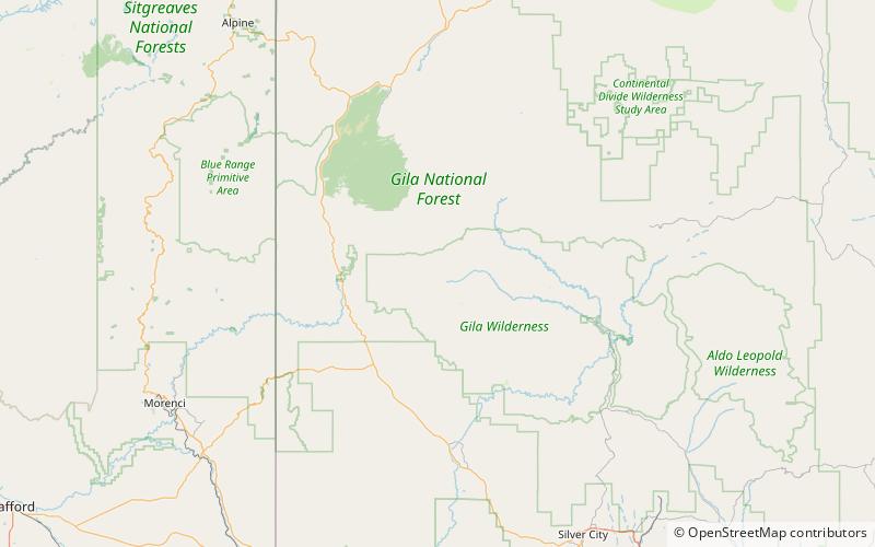
Mogollon Baldy is one of the tallest mountains in the Mogollon Mountains of New Mexico in the United States. It is about 10,774 feet tall. It is in the Gila National Forest and the Gila Wilderness. The summit marks the boundary between the Wilderness Ranger District and the Glenwood Ranger District. ()
Elevation: 10774 ftProminence: 1130 ftCoordinates: 33°16'17"N, 108°35'42"W
Address
Gila Wilderness
ContactAdd
Social media
Add
Day trips