Troost Avenue, Kansas City
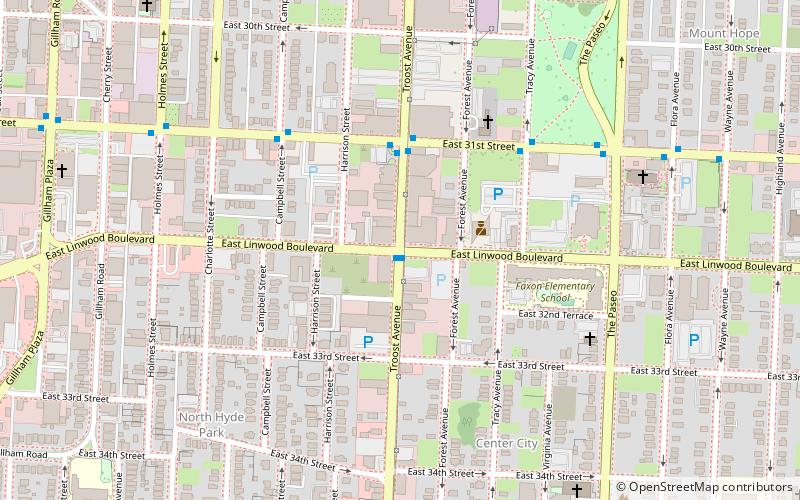
Map
Map

Facts and practical information
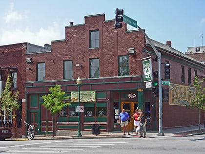
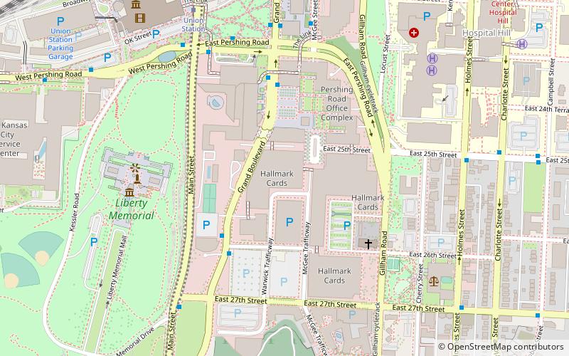
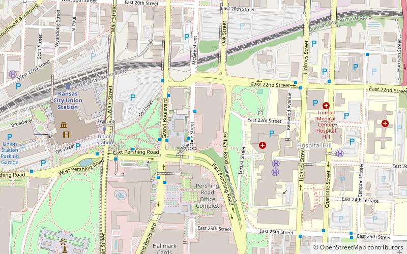
Troost Avenue is one of the major streets in Kansas City, Missouri and the Kansas City metropolitan area. It is 10.7 miles long, from the north point at 4th Street to the south point at Bannister Road. ()
Length: 10.7 miCoordinates: 39°4'7"N, 94°34'17"W
Address
Midtown (Center City)Kansas City
ContactAdd
Social media
Add
Day trips
Troost Avenue – popular in the area (distance from the attraction)
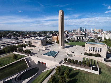
Nearby attractions include: National World War I Museum and Memorial, Westport, SEA LIFE Kansas City, National World War I Museum and Memorial.
Frequently Asked Questions (FAQ)
Which popular attractions are close to Troost Avenue?
Nearby attractions include Mesner Puppet Theater, Kansas City (2 min walk), Scottish Rite Temple, Kansas City (6 min walk), KCTV Broadcast Tower, Kansas City (14 min walk), Squier Park, Kansas City (15 min walk).
How to get to Troost Avenue by public transport?
The nearest stations to Troost Avenue:
Bus
Tram
Bus
- 31st at Troost • Lines: 31 (4 min walk)
Tram
- Union Station • Lines: 601 (34 min walk)

