Curtis Park, Sacramento
Map
Facts and practical information
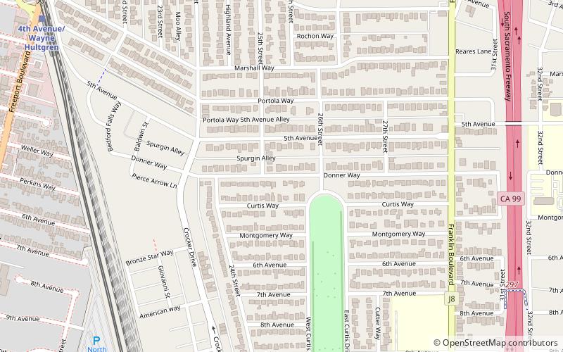
Curtis Park is a neighborhood located within the city of Sacramento, California. Curtis Park is defined as north of Sutterville Road, south of Broadway Ave. east of Freeport Boulevard, and west of Highway 99. Curtis Park is a largely residential neighborhood. It is known for its charming vintage homes including Victorian, Bungalow, and 1920s revival style subdivisions. Information about the neighborhood can be obtained from the Sierra Curtis Neighborhood Association. ()
Coordinates: 38°32'53"N, 121°28'52"W
Getting there by public transportation
Public transportation stops near this location
- Light rail
- Train
 Light rail
- Calculate route4th Avenue/Wayne Hultgren 12 min walk
- Calculate routeCity College 13 min walk
- Calculate routeBroadway 23 min walk
- Calculate route4th Avenue/Wayne Hultgren 13 min walk
- Calculate routeCity College 13 min walk
- Calculate routeBroadway 23 min walk
- Calculate route29th Street 32 min walk
Day trips


Frequently Asked Questions (FAQ)
Which popular attractions are close to Curtis Park?
Nearby attractions include Sacramento City College, Sacramento (17 min walk), Sol Collective, Sacramento (21 min walk).
How to get to Curtis Park by public transport?
The nearest stations to Curtis Park:
Light rail
Train
Light rail
- 4th Avenue/Wayne Hultgren • Lines: Blue (12 min walk)
- City College • Lines: Blue (13 min walk)
Train
- 4th Avenue/Wayne Hultgren (13 min walk)
- City College (13 min walk)