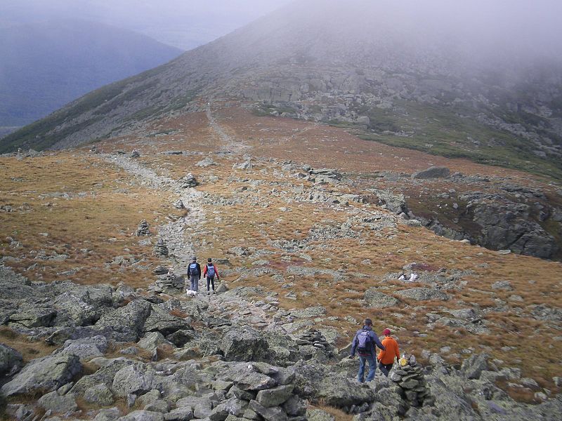
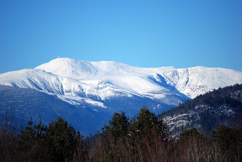
Mount Clay, White Mountain National Forest

Gallery (2)
Map
Map
Gallery
Facts and practical information
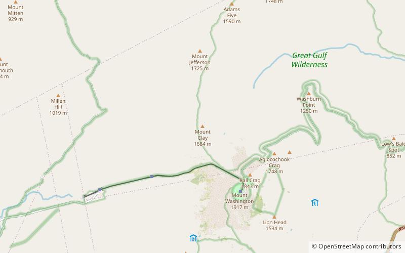
Mount Clay is a peak located in Thompson and Meserve's Purchase in Coos County in the Presidential Range of the White Mountains of New Hampshire. It is a rise about 0.9-mile long and a few hundred feet tall, with summit elevation of 5,533 feet; it lies on the ridge joining the summits of Mount Washington, about 0.9-mile to the south-southeast, with that of Mount Jefferson, about 1.3-mile north. ()
Elevation: 5533 ftProminence: 150 ftCoordinates: 44°17'9"N, 71°18'57"W
Address
White Mountain National Forest
ContactAdd
Social media
Add
Getting there by public transportation
Public transportation stops near this location
- Train
 Train
Train
- Calculate routeSummit 33 min walk
Day trips


Frequently Asked Questions (FAQ)
How to get to Mount Clay by public transport?
The nearest stations to Mount Clay:
Train
Train
- Summit (33 min walk)