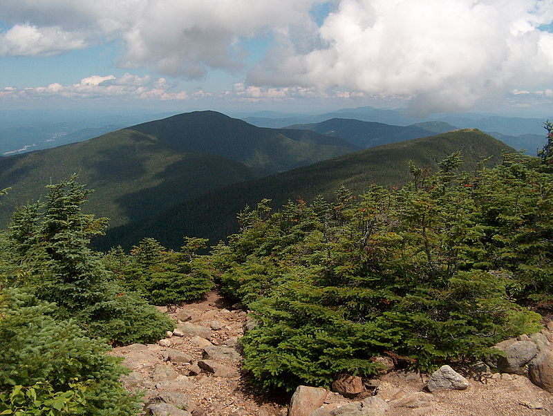
Mount Hight, White Mountain National Forest

Gallery (2)
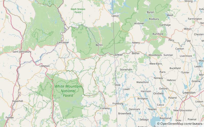
Map
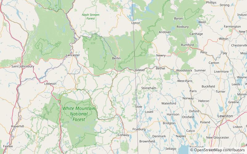
Map
Gallery
Facts and practical information
Mount Hight is a mountain located in Coos County, New Hampshire. The mountain is part of the Carter-Moriah Range of the White Mountains, which runs along the eastern-northeastern side of Pinkham Notch. Mount Hight is flanked on the north by South Carter Mountain across Zeta Pass, and on the southwest by Carter Dome. ()
Elevation: 4675 ftProminence: 125 ftCoordinates: 44°16'33"N, 71°10'11"W
Address
White Mountain National Forest
ContactAdd
Social media
Add
Day trips