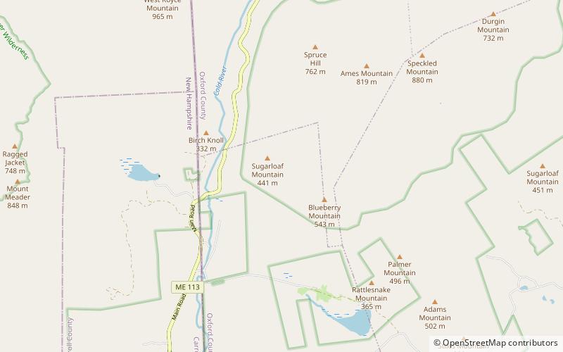
Mount Meader, White Mountain National Forest
Map
Gallery
Facts and practical information
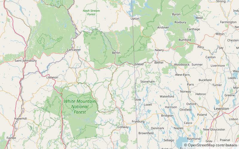
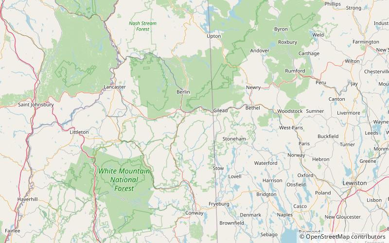
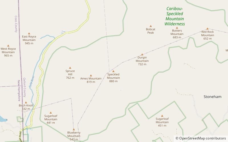
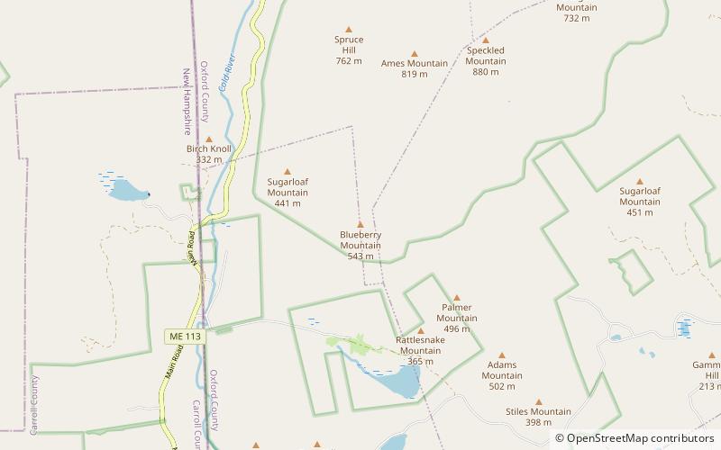
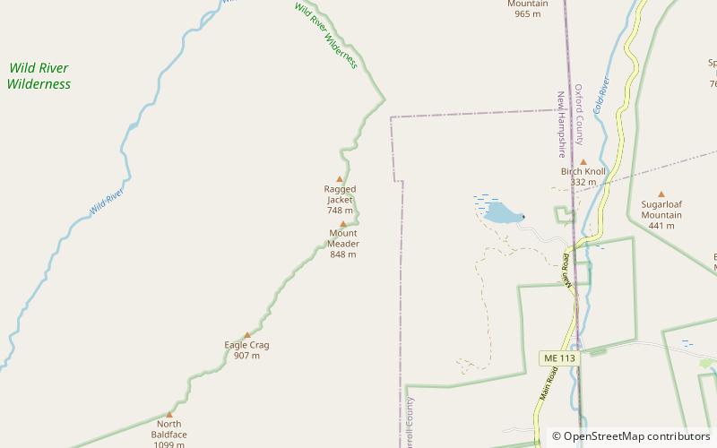
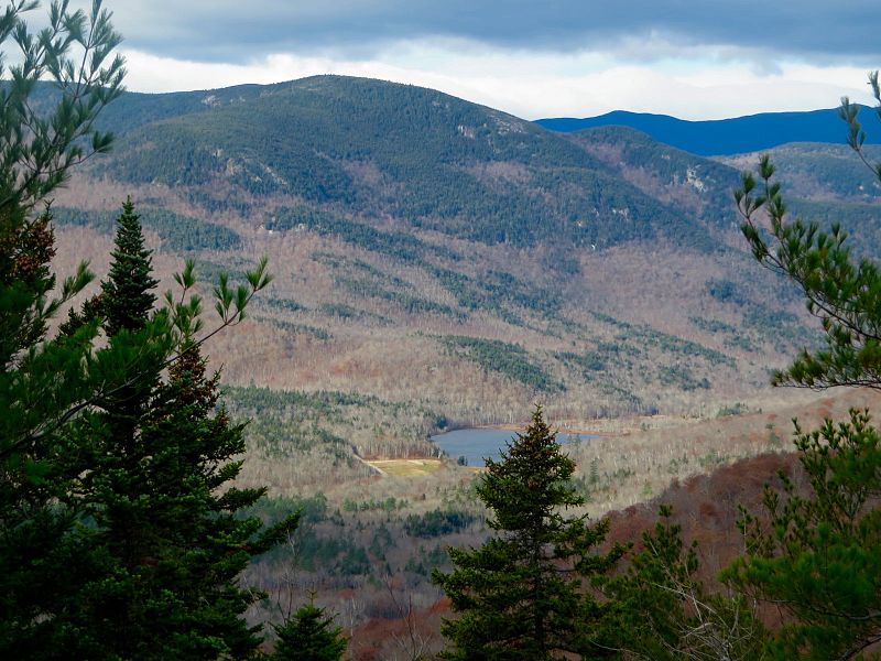
Mount Meader, elevation 2,782 feet, is a mountain in the Baldface-Royce Range, located in Coos County, New Hampshire. It is reached by the Basin Rim, Mount Meader, and Meader Ridge trails. It is flanked to the southwest by Eagle Crag, and to the northeast by West Royce Mountain. ()
Coordinates: 44°16'9"N, 71°3'3"W
Address
White Mountain National Forest
ContactAdd
Social media
Add
Day trips
Mount Meader – popular in the area (distance from the attraction)
Nearby attractions include: South Baldface, Mount Moriah, North Baldface, Imp Mountain.


