Anacostia Tributary Trail System, College Park
Map
Facts and practical information
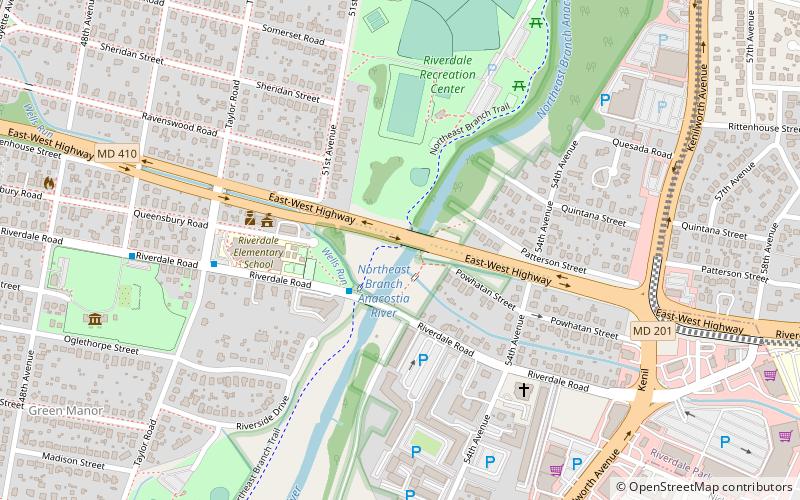
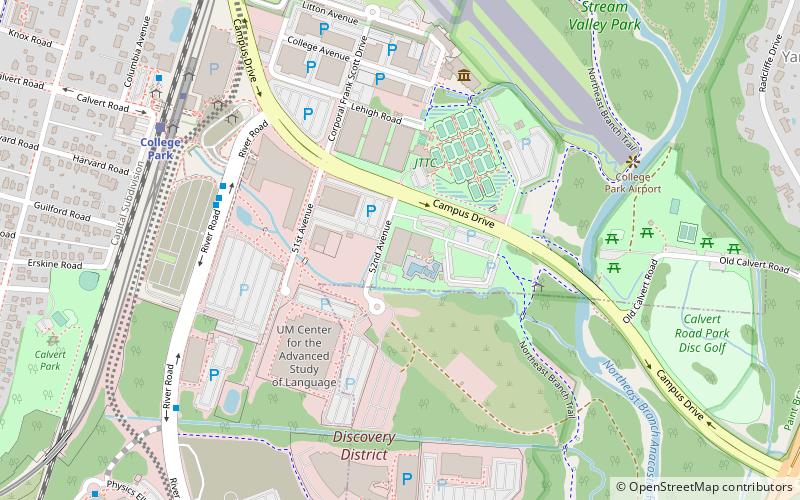
The Anacostia Tributary Trail System is a unified and signed system of stream valley trails joining trails along the Anacostia tributaries of Northwest Branch, Northeast Branch, Indian Creek and Paint Branch with a trail along the Anacostia River, set aside and maintained by the Maryland-National Capital Park and Planning Commission in the Maryland suburbs of Washington, D.C. ()
Season: All yearCoordinates: 38°57'41"N, 76°55'31"W
Address
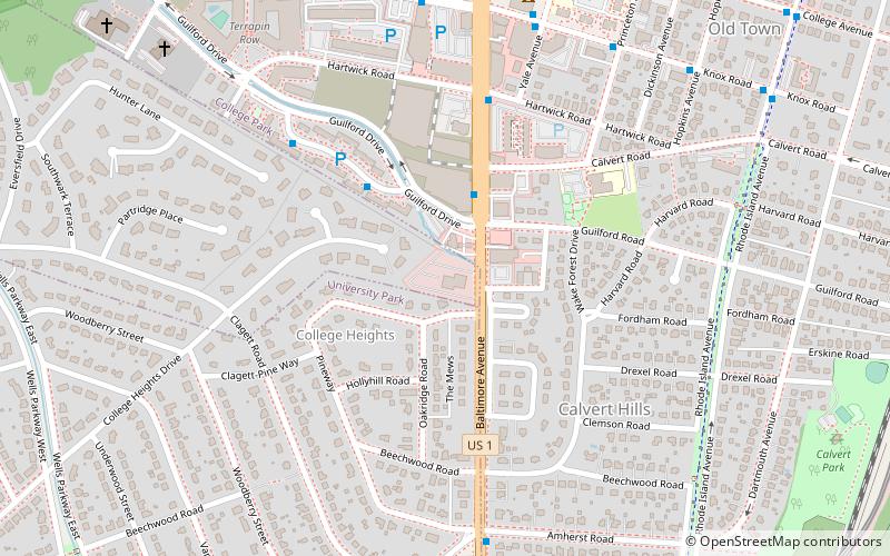
Riverdale ParkCollege Park
ContactAdd
Social media
Add
Getting there by public transportation
Public transportation stops near this location
- Metro
- Bus
- Train
 Metro
Metro
- Calculate routeRiverdale 14 min walk
- Calculate routeCollege Park 30 min walk
- Calculate routeRaytheon 14 min walk
- Calculate routeUsda 16 min walk
- Calculate routeRiver Road & Rivertech Court 16 min walk
- Calculate routeM-Square 18 min walk
- Calculate routeCollege Park–University of Maryland 31 min walk
Day trips


Frequently Asked Questions (FAQ)
How to get to Anacostia Tributary Trail System by public transport?
The nearest stations to Anacostia Tributary Trail System:
Train
Bus
Metro
Train
- Riverdale (14 min walk)
- College Park (30 min walk)
Bus
- Raytheon • Lines: 109 (14 min walk)
- Usda • Lines: 109 (16 min walk)
Metro
- College Park–University of Maryland • Lines: Gr, Yl (31 min walk)