Bryant Park, Charlotte
Map

Map

Facts and practical information
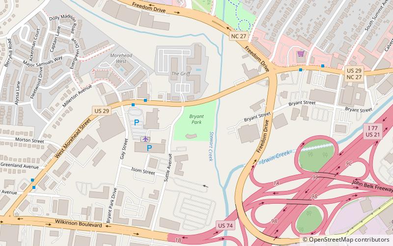
Bryant Park is an 8.7 acre urban park at 1701 West Morehead Street in the Historic Camp Greene neighborhood of Charlotte, North Carolina. It contains a softball field and a multi-purpose public field. In 2003 the Charlotte-Mecklenburg Historic Landmarks Commission designated Bryant Park as a historic landmark. ()
Created: 1935Elevation: 633 ft a.s.l.Coordinates: 35°13'38"N, 80°52'13"W
Day trips
Bryant Park – popular in the area (distance from the attraction)
Nearby attractions include: Truist Field, Bank of America Stadium, Harvey B. Gantt Center, Levine Center for the Arts.
Frequently Asked Questions (FAQ)
Which popular attractions are close to Bryant Park?
Nearby attractions include Carolina School Supply Company Building, Charlotte (14 min walk), Wesley Heights Historic District, Charlotte (14 min walk), Frazier Park, Charlotte (22 min walk), Seversville Park, Charlotte (22 min walk).
How to get to Bryant Park by public transport?
The nearest stations to Bryant Park:
Bus
Tram
Light rail
Bus
- West Morehead Street at Millerton Avenue • Lines: 35 (4 min walk)
- Wilkinson Boulevard at Remount Road • Lines: 35 (21 min walk)
Tram
- Wesley Heights • Lines: Gold (25 min walk)
- Bruns Avenue • Lines: Gold (29 min walk)
Light rail
- Bland Street • Lines: Blue (30 min walk)
- East/West Boulevard • Lines: Blue (32 min walk)


