Fire Scale Mountain, Thunder Ridge Wilderness

Map
Facts and practical information
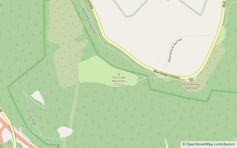
Fire Scale Mountain is a mountain in the North Carolina High Country, near the community of Deep Gap. The majority of the mountain is within the Blue Ridge Parkway. Its elevation reaches 3,845 feet. ()
Elevation: 3845 ftCoordinates: 36°13'60"N, 81°29'30"W
Address
Thunder Ridge Wilderness
ContactAdd
Social media
Add
Day trips
Fire Scale Mountain – popular in the area (distance from the attraction)
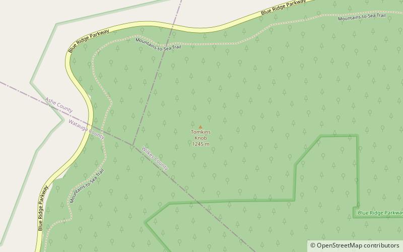
Nearby attractions include: Betsey's Rock Falls, Tomkins Knob, Cascade Falls.


