Howard Knob, Boone
Map

Map

Facts and practical information
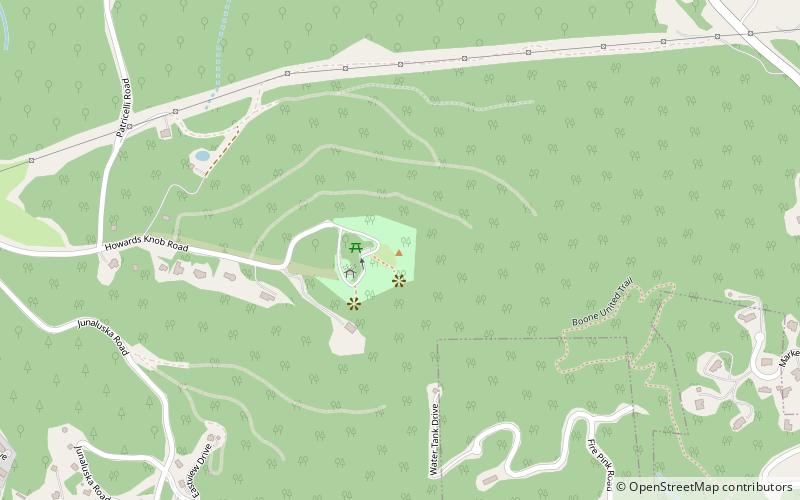
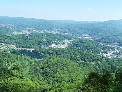
Howard Knob is a mountain in the North Carolina High Country, located in the town of Boone. According to the US Geological Survey, the mountain's proper name is Howard Knob, but it is known to locals and tourists as Howard's Knob. Howard Knob and the surrounding area are part of the Appalachian Mountain Range. The mountain has an elevation of 4,396 feet above sea level, and rises nearly 1,000 feet above the town of Boone and the campus of Appalachian State University. ()
Elevation: 4396 ftCoordinates: 36°13'52"N, 81°40'34"W
Day trips
Howard Knob – popular in the area (distance from the attraction)
Nearby attractions include: Tweetsie Railroad, Appalachian Ski Mountain, Horn in the West, Hickory Ridge Living History Museum.
Frequently Asked Questions (FAQ)
How to get to Howard Knob by public transport?
The nearest stations to Howard Knob:
Bus
Bus
- Watauga County Courthouse • Lines: Gray, Red, Silver (25 min walk)
- King Street / North Depot Street • Lines: Green, Red (25 min walk)


