Humpback Mountain, Thunder Ridge Wilderness

Map
Facts and practical information
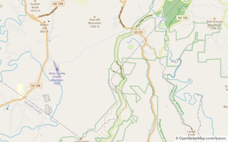
Humpback Mountain is a mountain in the North Carolina High Country and the Pisgah National Forest, located southwest of Linville Falls. The mountain is accessible along the Blue Ridge Parkway, which ride along its eastern slope. The peak reaches an elevation of 4,245 feet, in Avery County; while the overall mountain is also in McDowell County. Two ridges, Mill Ridge and Dividing Ridge, form from the western side of the mountain. ()
Elevation: 4245 ftCoordinates: 35°56'41"N, 81°57'42"W
Address
Thunder Ridge Wilderness
ContactAdd
Social media
Add
Day trips
Humpback Mountain – popular in the area (distance from the attraction)
Nearby attractions include: Linville Falls, Table Rock, Linville Gorge Wilderness.


