Calico National Recreation Trail, San Juan National Forest

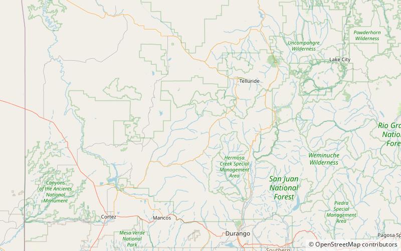
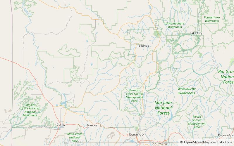
Map
Facts and practical information
Calico National Recreation Trail, also known as the Upper Calico Trail, is located in the Dolores Ranger District of San Juan National Forest, the 5.5 mile Upper Calico Trail is rated moderate/difficult and has a starting elevation of 10,150' and an ending elevation of 10,400'. ()
Coordinates: 37°44'37"N, 108°4'55"W
Address
San Juan National Forest
ContactAdd
Social media
Add
Day trips
Calico National Recreation Trail – popular in the area (distance from the attraction)
Nearby attractions include: Rico Town Hall, Elliott Mountain, Dey Building.


