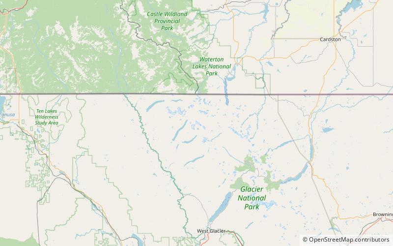
Mount Carter, Glacier National Park
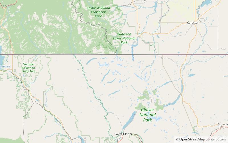
Map
Facts and practical information
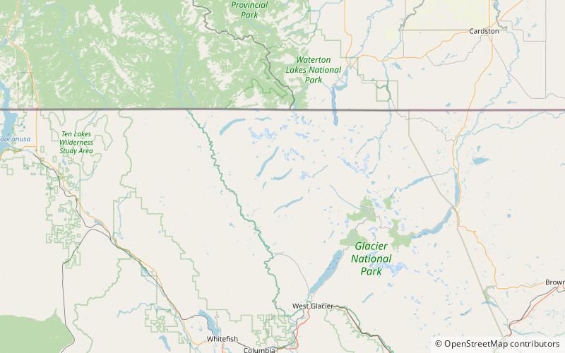
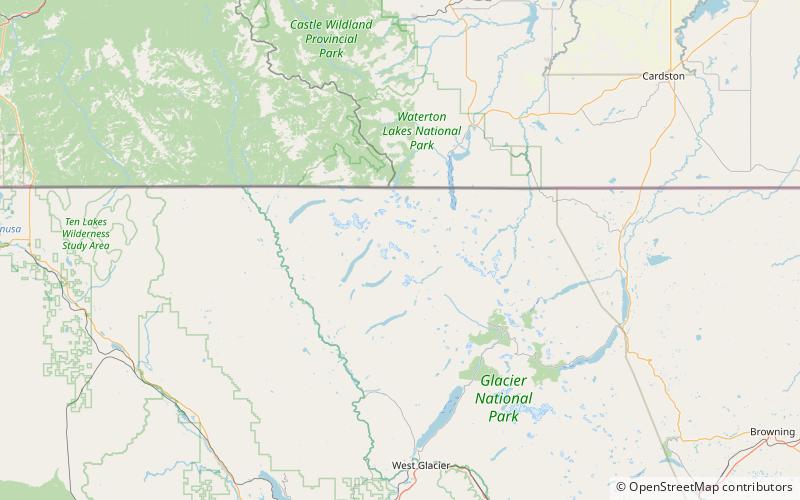
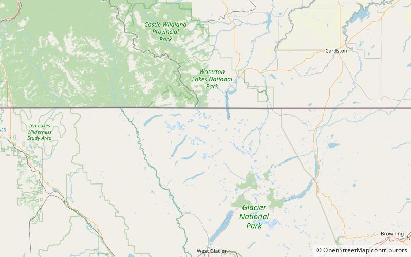
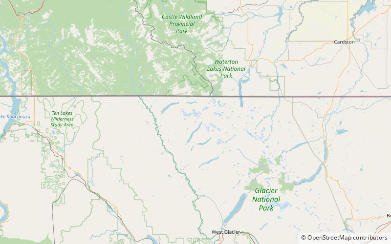
Mount Carter is located in the Livingston Range, Glacier National Park in the U.S. state of Montana. Rainbow Glacier is just south of Mount Carter while Weasel Collar Glacier is immediately northeast. Mount Carter is the tenth tallest peak in Glacier National Park. ()
Elevation: 9848 ftProminence: 803 ftCoordinates: 48°53'32"N, 114°4'41"W
Address
Glacier National Park
ContactAdd
Social media
Add
Day trips
Mount Carter – popular in the area (distance from the attraction)
Nearby attractions include: Bowman Lake, Boulder Peak, Boulder Glacier, Vulture Peak.


