Kupunkamint Mountain, Glacier National Park
Map
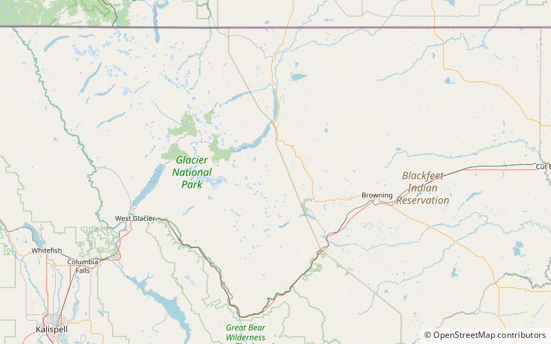
Map

Facts and practical information
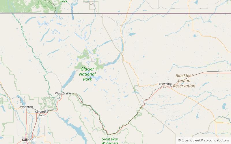
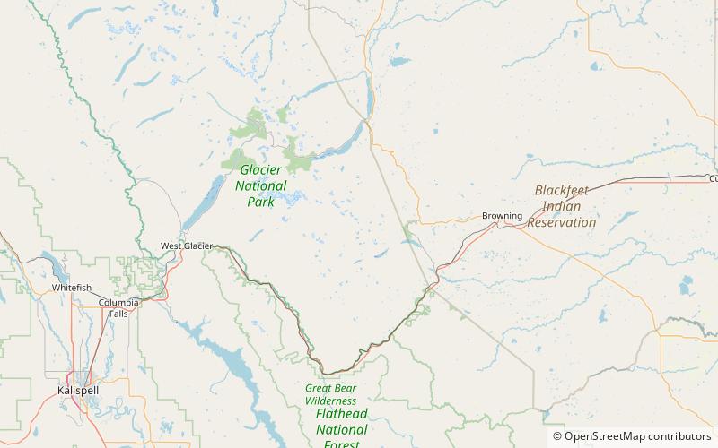
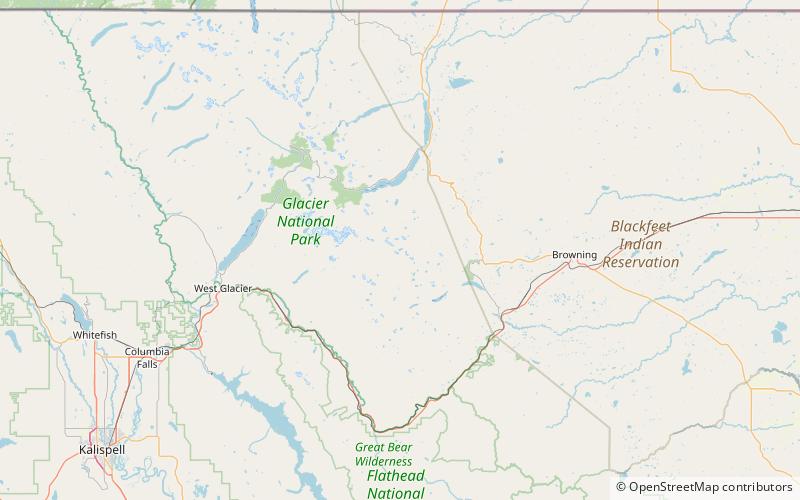
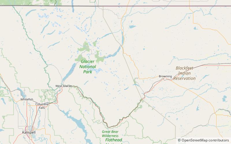
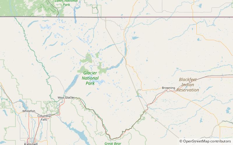
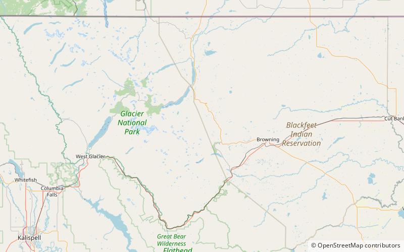
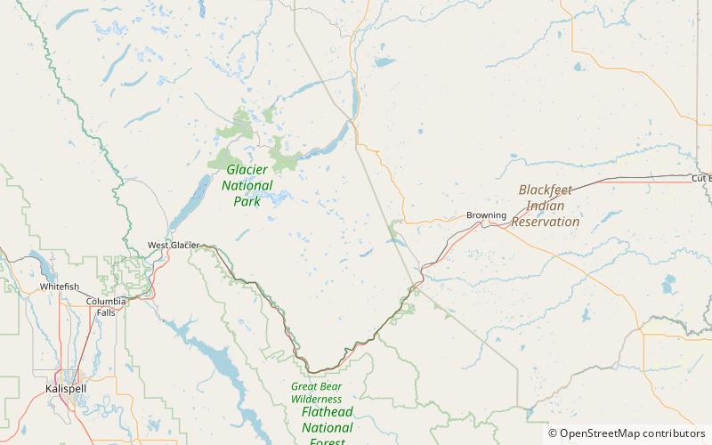
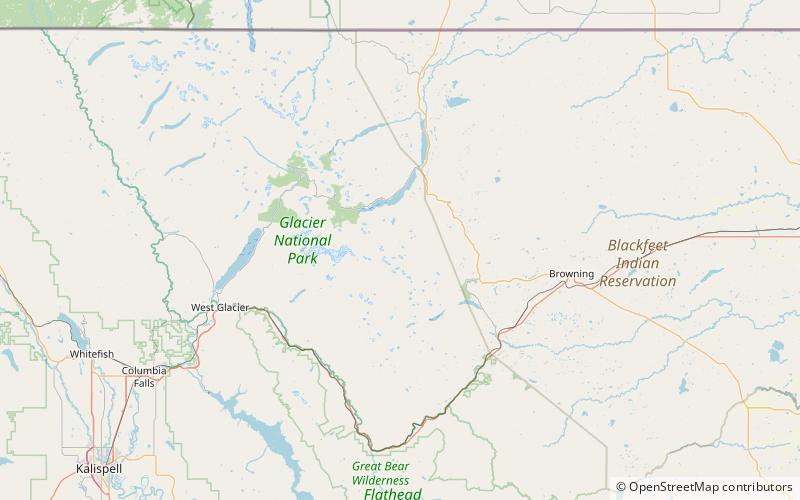
Kupunkamint Mountain is located in the Lewis Range, Glacier National Park in the U.S. state of Montana. Kupunkamint Mountain is in the southeastern section of Glacier National Park. The mountain's name was officially adopted in 1940 by the United States Board on Geographic Names to commemorate a Kootenai Indian. ()
Elevation: 8802 ftProminence: 357 ftCoordinates: 48°37'6"N, 113°25'19"W
Address
Glacier National Park
ContactAdd
Social media
Add
Day trips
Kupunkamint Mountain – popular in the area (distance from the attraction)
Nearby attractions include: Triple Divide Peak, Kakitos Mountain, Morning Star Lake, Medicine Grizzly Lake.


