St. Liborius Church and Buildings, St. Louis
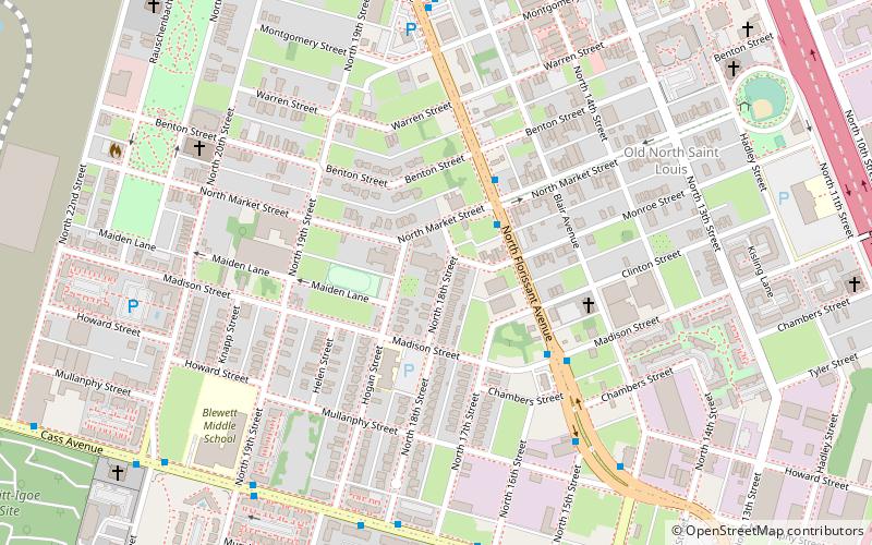
Map

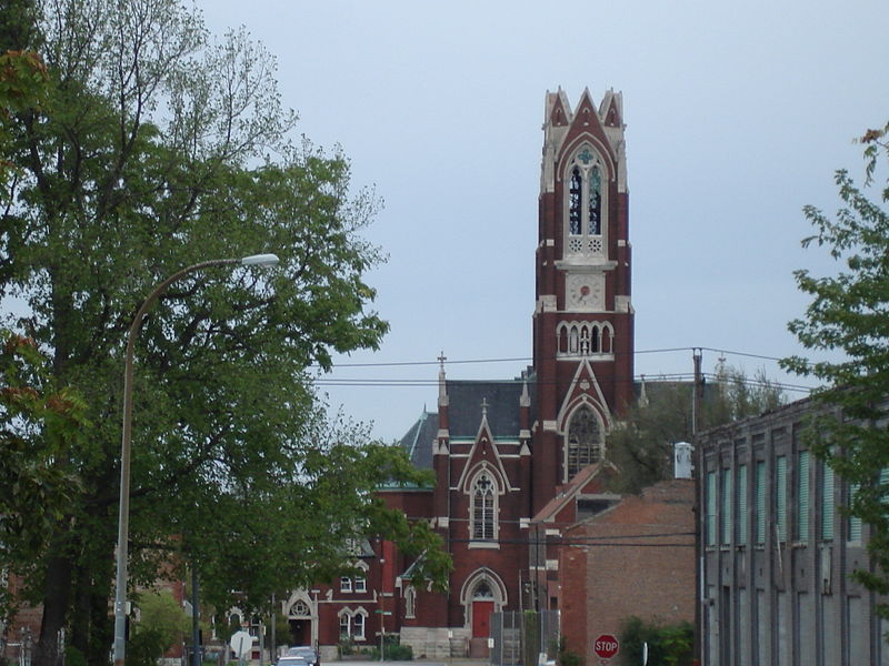
Gallery

Facts and practical information
St. Liborius Church and Buildings is centered on the former Catholic parish of St. Liborius in the St. Louis Place neighborhood of St. Louis, Missouri, United States. The historic district is listed on the National Register of Historic Places and it is listed as a City Landmark in St. Louis. ()
Coordinates: 38°38'47"N, 90°11'59"W
Day trips
St. Liborius Church and Buildings – popular in the area (distance from the attraction)
Nearby attractions include: The Dome at America's Center, City Museum, Shrine of St. Joseph, America's Center.
Frequently Asked Questions (FAQ)
When is St. Liborius Church and Buildings open?
St. Liborius Church and Buildings is open:
- Monday closed
- Tuesday 5 pm - 9 pm
- Wednesday closed
- Thursday 5 pm - 9 pm
- Friday closed
- Saturday closed
- Sunday closed
Which popular attractions are close to St. Liborius Church and Buildings?
Nearby attractions include Old North St. Louis, St. Louis (8 min walk), St. Louis Place, St. Louis (11 min walk), St. Louis Place Park, St. Louis (11 min walk), St. Stanislaus, St. Louis (12 min walk).
How to get to St. Liborius Church and Buildings by public transport?
The nearest stations to St. Liborius Church and Buildings:
Light rail
Light rail
- Convention Center • Lines: Blue, Red (32 min walk)
- Laclede's Landing • Lines: Blue, Red (37 min walk)


