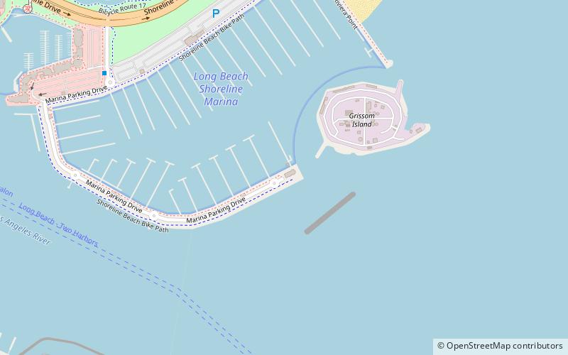
Long Beach Shoreline Marina, Long Beach
Map
Facts and practical information
The Long Beach Shoreline Marina is a marina based in Long Beach, California. ()
Coordinates: 33°45'28"N, 118°11'2"W
Address
Long Beach (Downtown Long Beach)Long Beach
ContactAdd
Social media
Add
Getting there by public transportation
Public transportation stops near this location
- Bus
- Light rail
 Bus
Bus
- Calculate routeFlyAway Bus Shelter A 21 min walk
- Calculate route1st Street 21 min walk
- Calculate routeDowntown Long Beach 23 min walk
- Calculate route5th Street 29 min walk
- Calculate routePacific Avenue 30 min walk
Day trips
Long Beach Shoreline Marina – popular in the area (distance from the attraction)
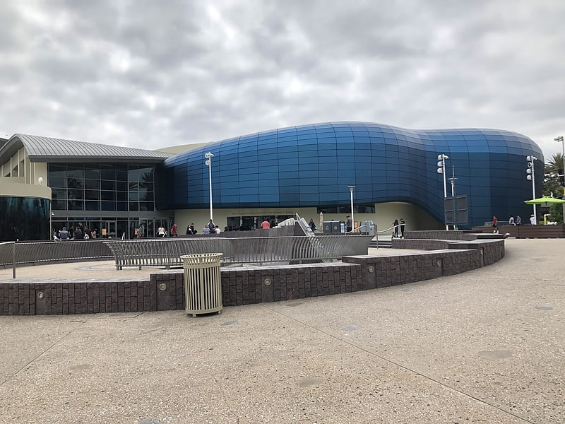
Nearby attractions include: Aquarium of the Pacific, RMS Queen Mary, Long Beach Convention and Entertainment Center, Soviet submarine B-427.


Frequently Asked Questions (FAQ)
Which popular attractions are close to Long Beach Shoreline Marina?
Nearby attractions include RMS Queen Mary, Long Beach (13 min walk), Long Beach Convention and Entertainment Center, Long Beach (13 min walk), Soviet submarine B-427, Long Beach (14 min walk), Villa Riviera, Long Beach (15 min walk).
How to get to Long Beach Shoreline Marina by public transport?
The nearest stations to Long Beach Shoreline Marina:
Bus
Light rail
Bus
- FlyAway Bus Shelter A (21 min walk)
Light rail
- 1st Street • Lines: A (21 min walk)
- Downtown Long Beach • Lines: A (23 min walk)