South King Street, Centralia

Gallery (1)
Map
Map
Facts and practical information
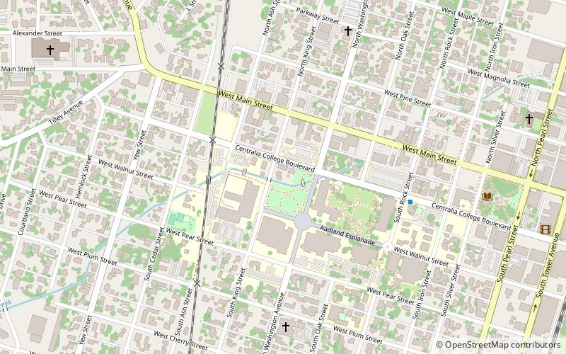
South King Street (address: 200 S. King St) is a place located in Centralia (Washington state) and belongs to the category of bridge.
It is situated at an altitude of 177 feet, and its geographical coordinates are 46°42'60"N latitude and 122°57'47"W longitude.
Among other places and attractions worth visiting in the area are: Centralia - Centralia Station (city hall, 12 min walk), Centralia Outlets (shopping, 29 min walk), Riverside Golf Club, Chehalis (outdoor activities, 81 min walk).
Coordinates: 46°42'60"N, 122°57'47"W
Address
200 S. King StCentralia
ContactAdd
Social media
Add
Day trips