Saint Croix River Light, Saint Croix Island
Map

Map

Facts and practical information
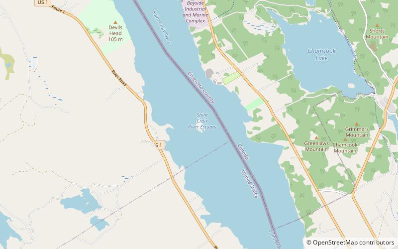
St. Croix River Light is a lighthouse on the St. Croix River, Maine, close to the Canada–United States border. It was first established in 1857. An octagonal wood tower on top of a keeper's house was built in 1901 and was destroyed by fire in 1976. The present skeleton tower was built following the fire. ()
Coordinates: 45°7'43"N, 67°8'1"W
Day trips
Saint Croix River Light – popular in the area (distance from the attraction)
Nearby attractions include: Whitlocks Mill Light, St Croix Island Historic Site.


