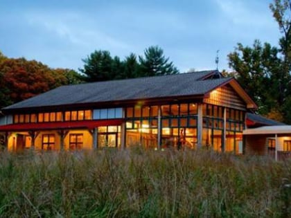
Rockville Union Cemetery, Rockville
Map
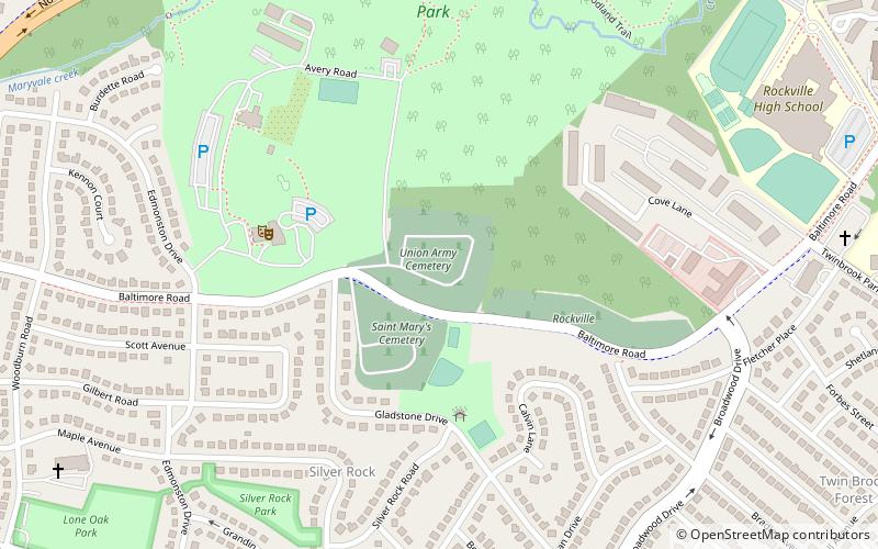
Map

Facts and practical information
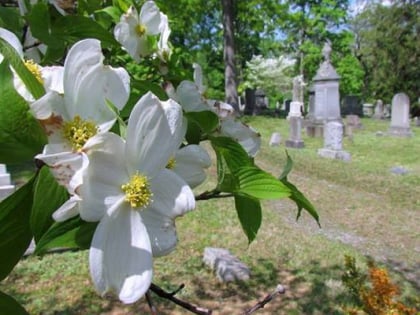
Rockville Cemetery was established in 1738 by the Anglican Prince George's Parish. It is the oldest burying ground in Rockville, Maryland and is located at 1350 Baltimore Road, adjacent to the Rockville Civic Center. Ownership changed in 1880 to the Rockville Cemetery Association. The cemetery occupies something over 24 acres in two sections, an older, western section of 7.7 acres and a newer, eastern section of almost 16.9 acres. ()
Coordinates: 39°5'3"N, 77°7'32"W
Day trips
Rockville Union Cemetery – popular in the area (distance from the attraction)
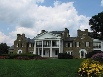
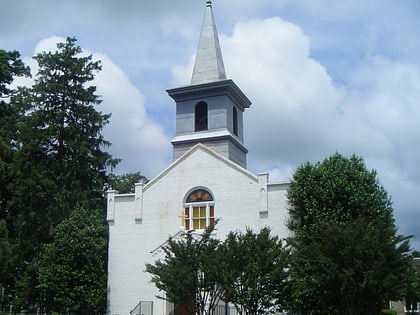
Nearby attractions include: EarthTreks Rockville, Glenview Mansion, Redgate Golf Course, Third Addition to Rockville and Old St. Mary's Church and Cemetery.
Frequently Asked Questions (FAQ)
Which popular attractions are close to Rockville Union Cemetery?
Nearby attractions include Croydon Creek Nature Center, Rockville (4 min walk), Glenview Mansion, Rockville (6 min walk), Twinbrook, Rockville (19 min walk), Rockville Park Historic District, Rockville (20 min walk).
How to get to Rockville Union Cemetery by public transport?
The nearest stations to Rockville Union Cemetery:
Train
Metro
Bus
Train
- Rockville (28 min walk)
Metro
- Rockville • Lines: Rd (29 min walk)
Bus
- Rockville Station • Lines: 101, 301, 44, 45, 47, 48, 49, 52, 54, 55, 56, 59, 63, 81, Q1, Q2, Q4, Q5, Q6, T2 (30 min walk)
