Elgin Community College, Elgin
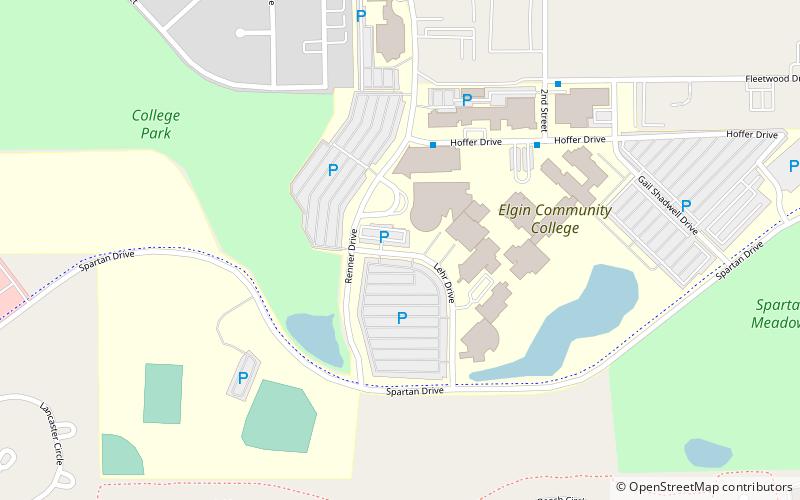
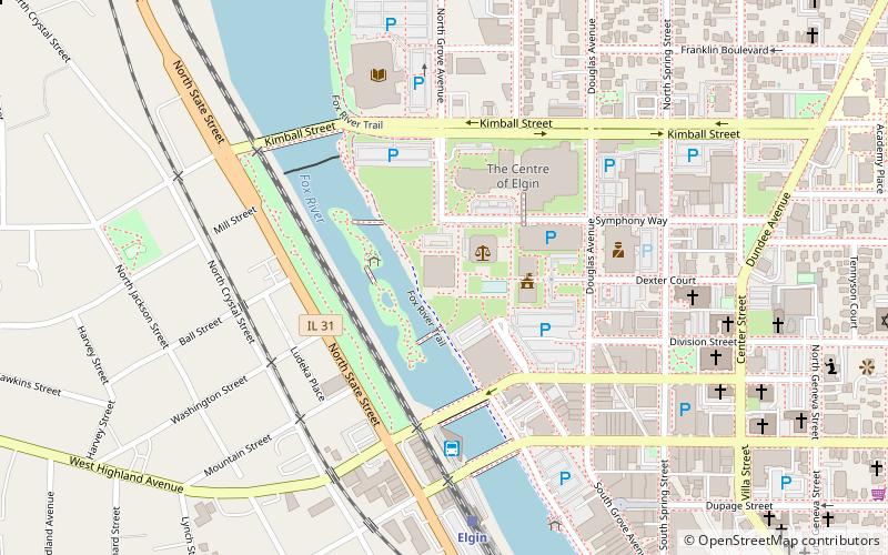
Map
Facts and practical information
Elgin Community College is a public community college in Elgin, Illinois. It was founded in 1949 as part of Elgin Area School District U46. Community College District 509 was formed 17 years later in 1966, a year after Illinois legislators created the Illinois Community College System. Most of the District is in Kane County with portions in DeKalb, Cook, McHenry, and DuPage. The 360-square-mile District serves 300,000 people, 11,000 businesses, four public school districts, and 15 high schools. ()
Established: 1949 (77 years ago)Coordinates: 42°1'5"N, 88°19'29"W
Getting there by public transportation
Public transportation stops near this location
- Bus
 Bus
Bus
- Calculate routeHoffer & Renner 4 min walk
- Calculate routeElgin Community College 5 min walk
- Calculate routeFleetwood & 2nd Street 7 min walk
- Calculate routeRandall & College Green NB 16 min walk
Day trips


Frequently Asked Questions (FAQ)
How to get to Elgin Community College by public transport?
The nearest stations to Elgin Community College:
Bus
Bus
- Hoffer & Renner • Lines: 549 (4 min walk)
- Elgin Community College • Lines: 549 (5 min walk)