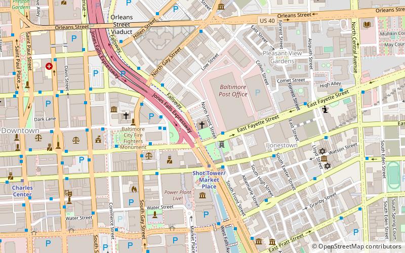
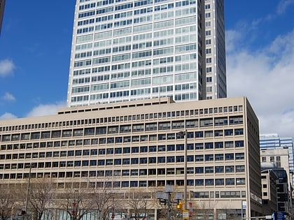
St. Vincent de Paul Church, Baltimore
Map

Map

Facts and practical information
St. Vincent de Paul Church is a historic Roman Catholic church located within the Archdiocese of Baltimore at 120 N. Front Street, Baltimore, Maryland, United States. ()
Built: 1840 (186 years ago)Coordinates: 39°17'29"N, 76°36'23"W
Address
120 N Front StSoutheastern Baltimore (Jonestown)Baltimore 21202
Contact
(410) 962-5078
Social media
Add
Day trips
St. Vincent de Paul Church – popular in the area (distance from the attraction)
Nearby attractions include: War Memorial Plaza, Old Town Mall, 100 East Pratt Street, Flag House & Star-Spangled Banner Museum.
Frequently Asked Questions (FAQ)
Which popular attractions are close to St. Vincent de Paul Church?
Nearby attractions include Phoenix Shot Tower, Baltimore (3 min walk), Maryland Art Place, Baltimore (4 min walk), Gay Street Historic District, Baltimore (4 min walk), Power Plant Live!, Baltimore (4 min walk).
How to get to St. Vincent de Paul Church by public transport?
The nearest stations to St. Vincent de Paul Church:
Metro
Bus
Light rail
Train
Metro
- Shot Tower/Market Place • Lines: M (3 min walk)
- Charles Center • Lines: M (12 min walk)
Bus
- City Hall • Lines: 164, 67, 76, 80 (3 min walk)
- Market Place Southbound • Lines: Green (3 min walk)
Light rail
- Lexington Market • Lines: Lr (19 min walk)
- Baltimore Arena • Lines: Lr (19 min walk)
Train
- Baltimore Camden Station (23 min walk)
- Baltimore Penn Station (32 min walk)


