Hagerstown City Park, Hagerstown
Map
Gallery
Facts and practical information
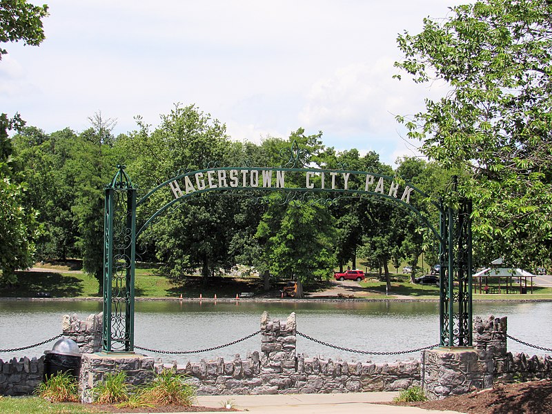
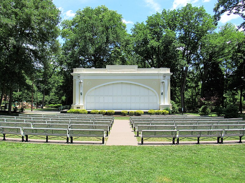
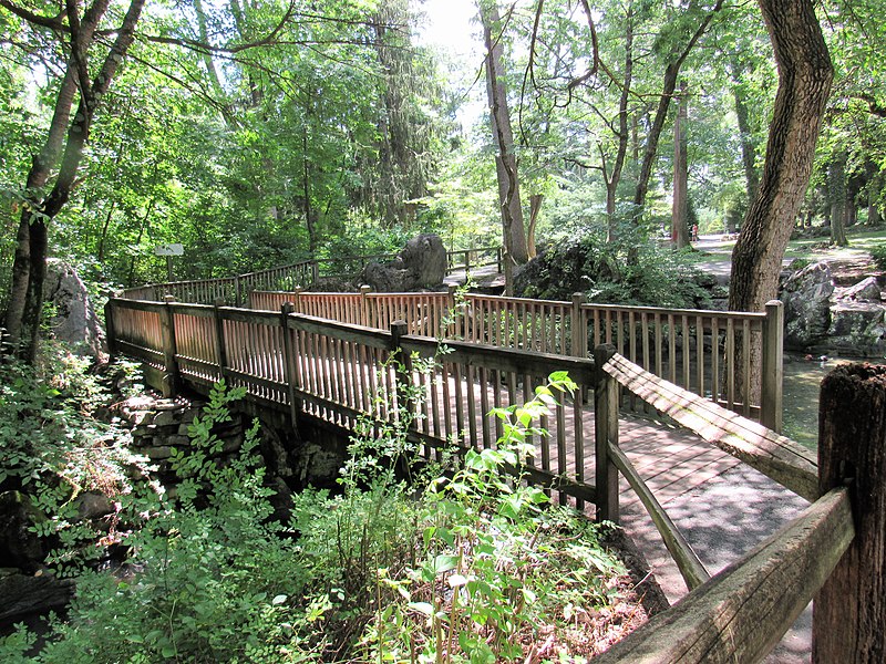
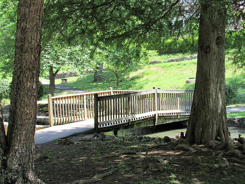
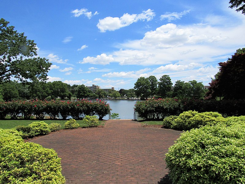
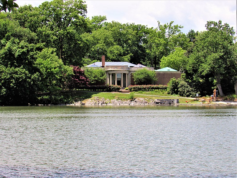
Hagerstown City Park is a public urban park just southwest of the central business district of Hagerstown, Maryland, United States. The park is located at the junction of Virginia Avenue, Key Street, Walnut Street, Prospect Street, and Memorial Boulevard. ()
Elevation: 554 ft a.s.l.Coordinates: 39°38'14"N, 77°43'53"W
Address
501 Virginia AveHistoric City ParkHagerstown 21740-6248
Contact
(301) 739-8577
Social media
Add
Day trips
Hagerstown City Park – popular in the area (distance from the attraction)
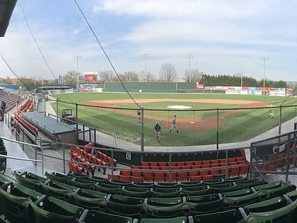
Nearby attractions include: Washington County Museum of Fine Arts, Municipal Stadium, Hager House, Discovery Station.
Frequently Asked Questions (FAQ)
Which popular attractions are close to Hagerstown City Park?
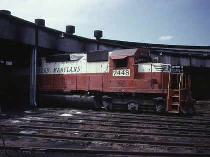
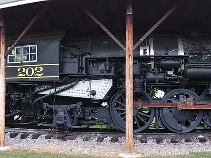
Nearby attractions include Washington County Museum of Fine Arts, Hagerstown (1 min walk), Anton Art Center, Hagerstown (1 min walk), Hager House, Hagerstown (6 min walk), Western Maryland 202, Hagerstown (7 min walk).


