Westville Dam, Sturbridge
Map

Map

Facts and practical information
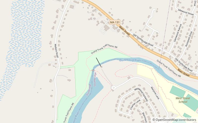
The Westville Dam is located on the Quinebaug River between Southbridge and Sturbridge, about 1.3 miles west of the Southbridge town center and 18 miles southwest of Worcester, Massachusetts. ()
Opened: 1962 (64 years ago)Length: 560 ftHeight: 78 ftCoordinates: 42°4'59"N, 72°3'31"W
Day trips
Westville Dam – popular in the area (distance from the attraction)
Nearby attractions include: Notre Dame Parish, Holy Trinity Church, Clarke–Glover Farmhouse, St. Peter's Roman Catholic Church-St. Mary's School.
Frequently Asked Questions (FAQ)
Which popular attractions are close to Westville Dam?
Nearby attractions include Judson-Litchfield House, Southbridge (17 min walk), Alden-Delehanty Block, Southbridge (17 min walk), Hamilton Mill Brick House, Southbridge (19 min walk), James Gleason Cottage, Southbridge (21 min walk).


