Chicopee Falls Dam, Chicopee
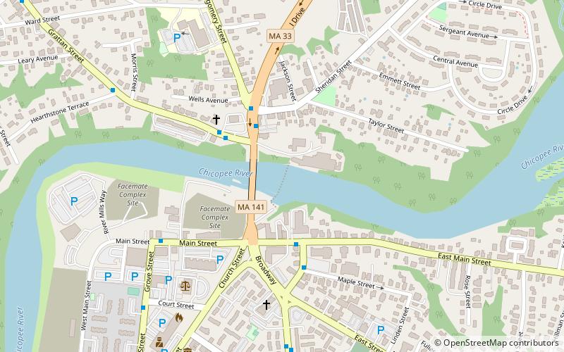
Map

Gallery

Facts and practical information
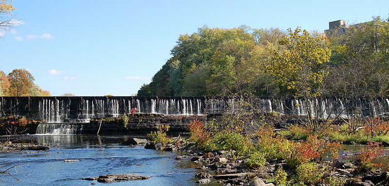
The Chicopee Falls Dam is a masonry stone dam that parallels Route 33 in Chicopee, Massachusetts. It is part of the Chicopee River Watershed. The dam was constructed in the late 19th century, and is currently owned by the City of Chicopee. It impounds the waters of the Chicopee River at Chicopee Falls, to form the Chicopee Reservoir. ()
Coordinates: 42°9'36"N, 72°34'52"W
Address
Chicopee
ContactAdd
Social media
Add
Day trips
Chicopee Falls Dam – popular in the area (distance from the attraction)
Nearby attractions include: Edward Bellamy House, St. Stanislaus Bishop & Martyr's Parish, The Polish Center of Discovery and Learning at Elms College, Basilica of St. Stanislaus.


