Chicopee Memorial State Park, Chicopee

Map
Facts and practical information
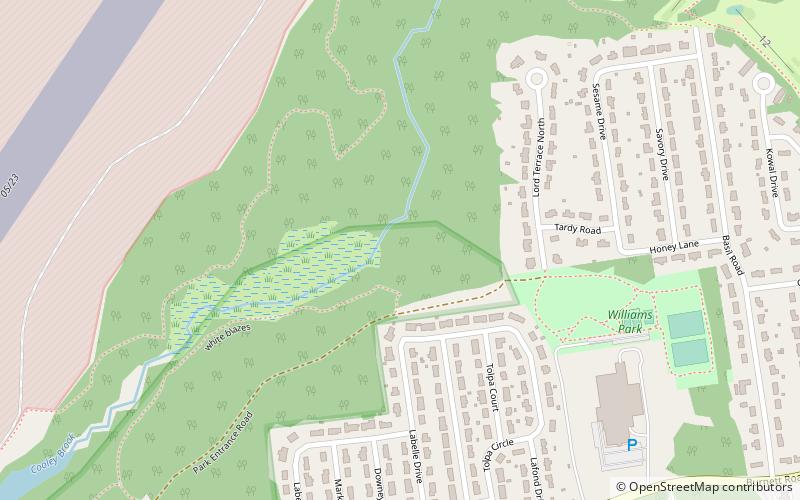
Chicopee Memorial State Park is a public recreation area covering 562 acres in the Burnett Road neighborhood of the city of Chicopee, Massachusetts. The state park is located directly southeast of Westover Air Reserve Base, which is visible from some parts of the park. It is managed by the Department of Conservation and Recreation. ()
Established: 1893 (133 years ago)Elevation: 200 ft a.s.l.Coordinates: 42°10'45"N, 72°32'13"W
Address
570 Burnett Rd, Chicopee, MABurnett RoadChicopee
Contact
+1 413 594 9416
Social media
Add
Day trips
Chicopee Memorial State Park – popular in the area (distance from the attraction)
Nearby attractions include: Eastfield Mall, Lupa Zoo, Edward Bellamy House, St. Stanislaus Bishop & Martyr's Parish.


