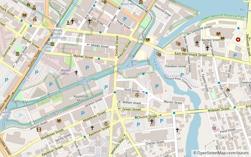
Pawtucket Canal, Lowell
Map

Map

Facts and practical information
Completed in 1796, the Pawtucket Canal was originally built as a transportation canal to circumvent the Pawtucket Falls of the Merrimack River in East Chelmsford, Massachusetts. In the early 1820s it became a major component of the Lowell power canal system. with the founding of the textile industry at what became Lowell. ()
Coordinates: 42°38'36"N, 71°18'28"W
Address
Lowell (Downtown Lowell)Lowell
ContactAdd
Social media
Add
Day trips
Pawtucket Canal – popular in the area (distance from the attraction)
Nearby attractions include: Edward A. LeLacheur Park, New England Quilt Museum, Boott Mills, Tsongas Center at UMass Lowell.
Frequently Asked Questions (FAQ)
Which popular attractions are close to Pawtucket Canal?
Nearby attractions include F. Bradford Morse Federal Building, Lowell (5 min walk), Lowell Memorial Auditorium, Lowell (6 min walk), St. Joseph the Worker Shrine, Lowell (6 min walk), Lowell Historic Preservation District, Lowell (6 min walk).
How to get to Pawtucket Canal by public transport?
The nearest stations to Pawtucket Canal:
Bus
Tram
Train
Bus
- Inn & Conference Center • Lines: Downtown Express, Yellow Line (N&W), Yellow North, Yellow South (2 min walk)
- District Court • Lines: 9 (3 min walk)
Tram
- Lower Locks • Lines: Lowell National Park Trolley (3 min walk)
- Boott Mills • Lines: Lowell National Park Trolley (7 min walk)
Train
- Lowell (16 min walk)


