St. Augustine Town Plan Historic District, St. Augustine
Map

Map

Facts and practical information
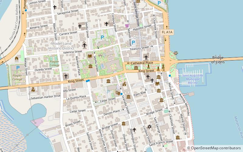
The St Augustine Town Plan Historic District is a U.S. National Historic Landmark District encompassing the colonial heart of the city. It substantially encompasses the street plan of the city as contained within the bounds of walls built between the 16th and early 19th centuries. The district is bounded by Cordova, Orange, and St. Francis Streets, and Matanzas Bay. It was designated a National Historic Landmark in 1970, although its boundaries were not formally defined until 1986. ()
Coordinates: 29°53'31"N, 81°18'51"W
Address
LincolnvilleSt. Augustine
ContactAdd
Social media
Add
Day trips
St. Augustine Town Plan Historic District – popular in the area (distance from the attraction)
Nearby attractions include: Medieval Torture Museum, Cathedral Basilica of St. Augustine, Lightner Museum, Ximenez-Fatio House.
Frequently Asked Questions (FAQ)
Which popular attractions are close to St. Augustine Town Plan Historic District?
Nearby attractions include Museum of Weapons and Early American History, St. Augustine (1 min walk), Flagler College, St. Augustine (1 min walk), Villa Zorayda Museum, St. Augustine (2 min walk), Flagler Saints, St. Augustine (2 min walk).


