Independence Historic District, Independence

Gallery (1)
Map
Map
Facts and practical information
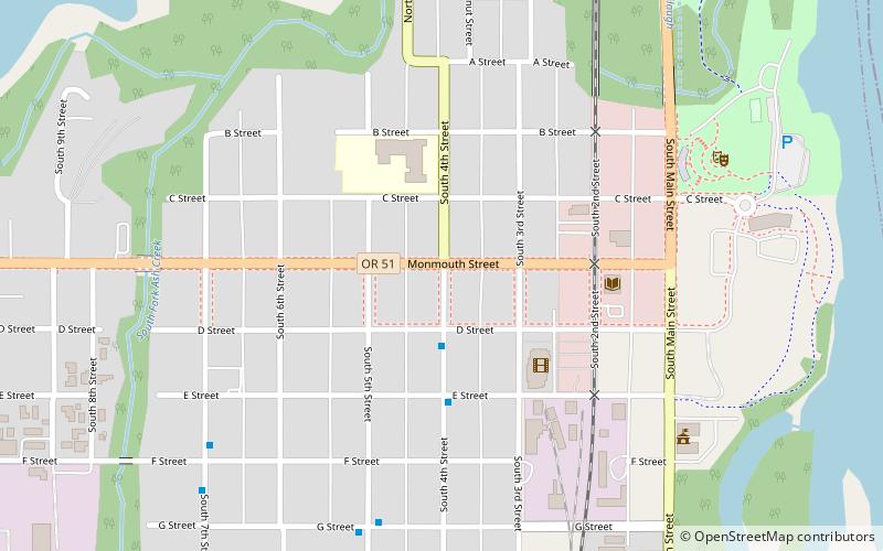
Independence Historic District in Independence, Oregon, United States is a historic district that was listed on the National Register of Historic Places in 1989. The roughly 30-block district preserves approximately 250 homes and businesses of a prosperous riverside town of the 1880s. ()
Coordinates: 44°51'4"N, 123°11'20"W
Address
Independence
ContactAdd
Social media
Add
Day trips


