Rutledge-Wilson Farm Park, Springfield
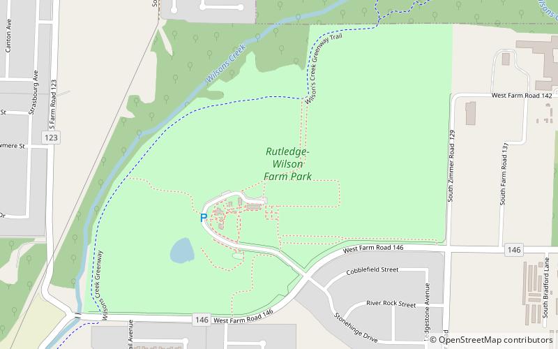
Map
Map

Facts and practical information
Rutledge-Wilson Farm Park (address: 3825 W Farm Road 146) is a place located in Springfield (Missouri state) and belongs to the category of park, relax in park, farm.
It is situated at an altitude of 1204 feet, and its geographical coordinates are 37°11'32"N latitude and 93°21'34"W longitude.
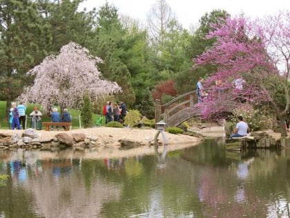
Among other places and attractions worth visiting in the area are: Rock Fountain Court Historic District (neighbourhood, 57 min walk), Nathanael Greene (park, 59 min walk), Mizumoto Japanese Stroll Garden (park, 62 min walk).
Elevation: 1204 ft a.s.l.Coordinates: 37°11'32"N, 93°21'34"W
Day trips
Rutledge-Wilson Farm Park – popular in the area (distance from the attraction)
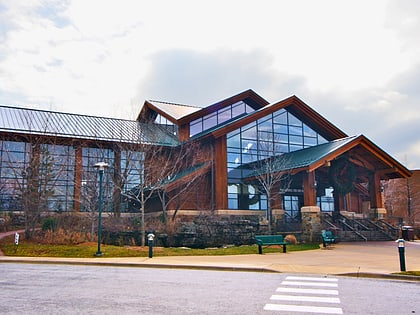
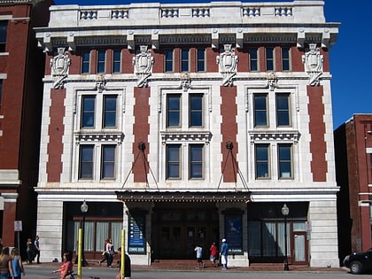
Nearby attractions include: Mediacom Ice Park, Wonders of Wildlife, Landers Theatre, Mizumoto Japanese Stroll Garden.
Frequently Asked Questions (FAQ)
When is Rutledge-Wilson Farm Park open?
Rutledge-Wilson Farm Park is open:
- Monday 9 am - 5 pm
- Tuesday 9 am - 5 pm
- Wednesday 9 am - 5 pm
- Thursday 9 am - 5 pm
- Friday 9 am - 5 pm
- Saturday 9 am - 5 pm
- Sunday 9 am - 5 pm


