Circus Square Park, Bowling Green
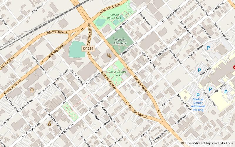
Map

Map

Facts and practical information
Circus Square Park (address: 601 State St) is a place located in Bowling Green (Kentucky state) and belongs to the category of park, relax in park.
It is situated at an altitude of 489 feet, and its geographical coordinates are 36°59'43"N latitude and 86°26'16"W longitude.
Among other places and attractions worth visiting in the area are: Cecelia Memorial Presbyterian Church (church, 2 min walk), Bowling Green Ballpark (baseball, 6 min walk), Capitol Arts Center (concerts and shows, 6 min walk).
Elevation: 489 ft a.s.l.Coordinates: 36°59'43"N, 86°26'16"W
Address
601 State StBowling Green 42101
ContactAdd
Social media
Add
Day trips
Circus Square Park – popular in the area (distance from the attraction)
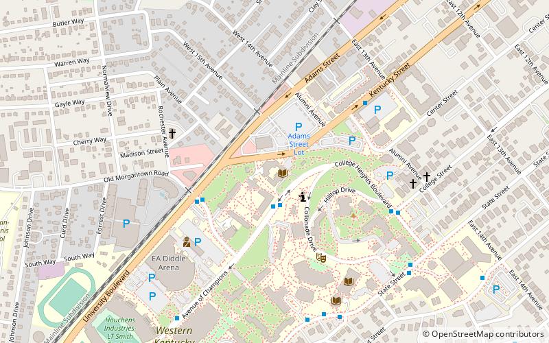
Nearby attractions include: E. A. Diddle Arena, Kentucky Museum, Western Kentucky University, Capitol Arts Center.
Frequently Asked Questions (FAQ)
Which popular attractions are close to Circus Square Park?
Nearby attractions include Cecelia Memorial Presbyterian Church, Bowling Green (2 min walk), Capitol Arts Center, Bowling Green (6 min walk), State Street Baptist Church, Bowling Green (7 min walk), Downtown Commercial District, Bowling Green (7 min walk).


