Boone Square Park, Louisville

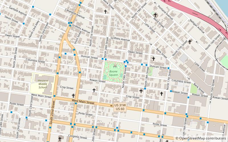
Map
Facts and practical information
Boone Square is one of the Frederick Law Olmsted parks in Louisville, Kentucky. It is also one of the smaller ones, one full city block in size. In the middle of Louisville's working-class Portland neighborhood, it is bordered by 19th St. on the west, Duncan St. on the south, 20th St. on the east and Rowan St. on the north. It opened to the public on July 1, 1891. ()
Elevation: 459 ft a.s.l.Coordinates: 38°15'41"N, 85°46'54"W
Day trips
Boone Square Park – popular in the area (distance from the attraction)
Nearby attractions include: Louisville Slugger Museum & Factory, Sons of the American Revolution, Louisville City Hall, Louisville Metro Hall.
Frequently Asked Questions (FAQ)
Which popular attractions are close to Boone Square Park?
Nearby attractions include St. Anthony's Catholic Church, Louisville (11 min walk), Kentucky Center for African American Heritage, Louisville (14 min walk), Portland Museum, Louisville (16 min walk), St. Patrick's Catholic Church, Louisville (16 min walk).
How to get to Boone Square Park by public transport?
The nearest stations to Boone Square Park:
Bus
Bus
- Duncan / 19th • Lines: 12North, 12South (2 min walk)
- W.J.Hodge / Rowan • Lines: 22North, 99South (4 min walk)


