Lexington National Cemetery, Lexington
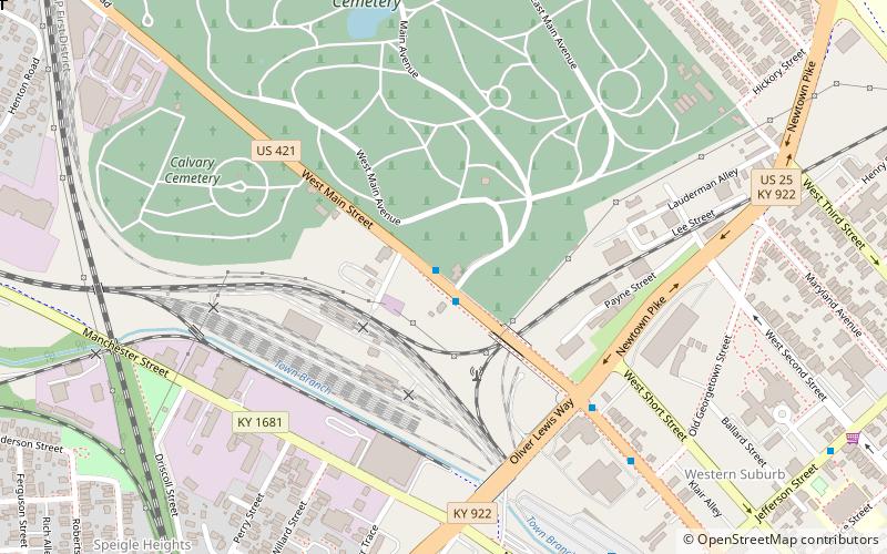
Map

Gallery

Facts and practical information
Lexington National Cemetery is a United States National Cemetery located in the city of Lexington, Kentucky. Administered by the United States Department of Veterans Affairs, it encompasses less than 4050 square meters, and as of 2014 had approximately 1,700 interments. It is closed to new interments. ()
Built: 1868 (158 years ago)Coordinates: 38°3'22"N, 84°30'30"W
Day trips
Lexington National Cemetery – popular in the area (distance from the attraction)
Nearby attractions include: The Red Mile, Rupp Arena, Lexington History Center, Kentucky Theater.
Frequently Asked Questions (FAQ)
Which popular attractions are close to Lexington National Cemetery?
Nearby attractions include Confederate Soldier Monument in Lexington, Lexington (7 min walk), Ladies' Confederate Memorial, Lexington (7 min walk), Lexington Cemetery, Lexington (9 min walk), Speigle Heights, Lexington (11 min walk).
How to get to Lexington National Cemetery by public transport?
The nearest stations to Lexington National Cemetery:
Bus
Bus
- 1359 South Upper @ 200 Outbound • Lines: 16 Southland Dr, 5 Nicholasville Road (22 min walk)
- unknown - South Upper near Pine Outbound • Lines: 16 Southland Dr (23 min walk)


